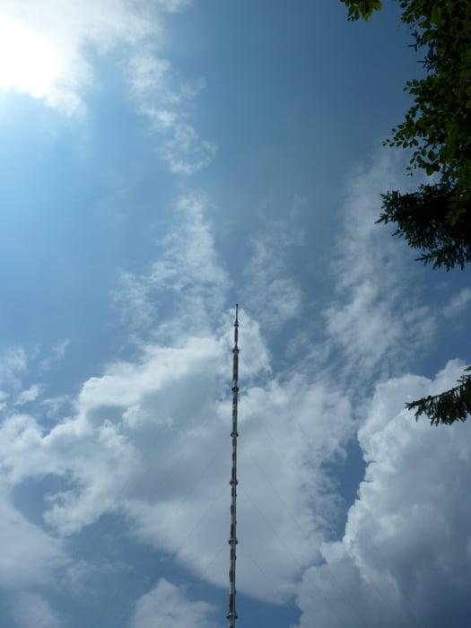
NIce tour on the ridge between Tri Krize and Skalka.
Tour Galerie
Tour Karte und Höhenprofil
Minimale Höhe 529 m
Maximale Höhe 1258 m
Kommentare

From Malachov we took the Blue trail to Tri Krize
Follow the Red marks to Skalka tower and then to the tunnel
Yellow trail takes you down to Ticha - then turn right on green trail unil the ski-slopes of Kralky.
Follow the Blue signs to the meadows of Pol'noh. Turn right onto the unmaked trail, until you reach the Blue sign leading back to Malachov
GPS-Tracks
Trackpunkte-
GPX / Garmin Map Source (gpx) download
-
TCX / Garmin Training Center® (tcx) download
-
CRS / Garmin Training Center® (crs) download
-
Google Earth (kml) download
-
G7ToWin (g7t) download
-
TTQV (trk) download
-
Overlay (ovl) download
-
Fugawi (txt) download
-
Kompass (DAV) Track (tk) download
-
Tourenblatt (pdf) download
-
Originaldatei des Autors (gpx) download
Zu meinen Favoriten hinzufügen
Von meinen Favoriten entfernen
Tags bearbeiten
Tour öffnen
Meine Bewertung
Bewerten


