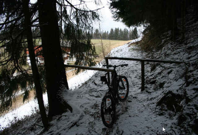
Kleine Runde um und auf den Kienberg
Start ist am Gashthof, direkt über der Autobahn.
Meist Forstwege, vom Kienberg hinab geht es ziemlich steil runter, nur bei trockenem Wetter spurenfrei fahrbar.
Start ist am Gashthof, direkt über der Autobahn.
Meist Forstwege, vom Kienberg hinab geht es ziemlich steil runter, nur bei trockenem Wetter spurenfrei fahrbar.
Tour Karte und Höhenprofil
Minimale Höhe 577 m
Maximale Höhe 826 m
Kommentare

GPS-Tracks
Trackpunkte-
GPX / Garmin Map Source (gpx) download
-
TCX / Garmin Training Center® (tcx) download
-
CRS / Garmin Training Center® (crs) download
-
Google Earth (kml) download
-
G7ToWin (g7t) download
-
TTQV (trk) download
-
Overlay (ovl) download
-
Fugawi (txt) download
-
Kompass (DAV) Track (tk) download
-
Tourenblatt (pdf) download
-
Originaldatei des Autors (gpx) download
Zu meinen Favoriten hinzufügen
Von meinen Favoriten entfernen
Tags bearbeiten
Tour öffnen
Meine Bewertung
Bewerten

