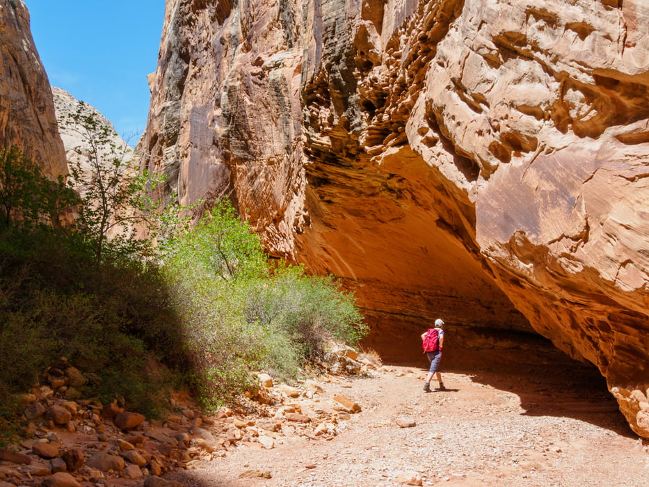
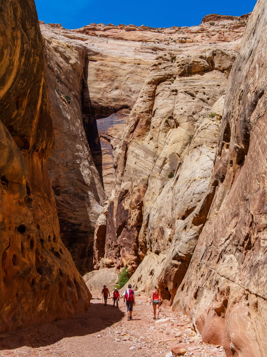
Grand Wash is a famous gorge that cuts its way through the upper portion of the Waterpocket Fold in Capitol Reef National Park. The wash connects the Scenic Road as it heads south past Cassidy Arch, to Highway 24 just east of Spring Canyon. The wash is level throughout almost the entire route, though it is full of streambed sediment. Only at the narrow does the trail close in and get tight.
Tour Galerie
Tour Karte und Höhenprofil
Minimale Höhe 1574 m
Maximale Höhe 1693 m
Kommentare

Ab Green River folgen wir dem Highway 50 westwärts. An Exit 149 geht es südwärts auf die 24 Richtung Hanksville. Dort nach Westen bis zum Trailhead.
GPS-Tracks
Trackpunkte-
GPX / Garmin Map Source (gpx) download
-
TCX / Garmin Training Center® (tcx) download
-
CRS / Garmin Training Center® (crs) download
-
Google Earth (kml) download
-
G7ToWin (g7t) download
-
TTQV (trk) download
-
Overlay (ovl) download
-
Fugawi (txt) download
-
Kompass (DAV) Track (tk) download
-
Tourenblatt (pdf) download
-
Originaldatei des Autors (gpx) download
Zu meinen Favoriten hinzufügen
Von meinen Favoriten entfernen
Tags bearbeiten
Tour öffnen
Meine Bewertung
Bewerten


