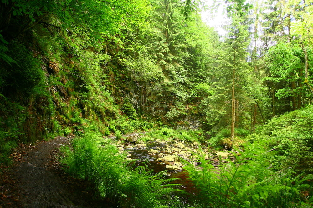
Really nice rides in the Belgian Ardennes.
The first and last part are quite easy, the middle part is completely through the forest and has some steep and technical climbs and descents, with slippery roots and rocks.
After periods of rain some parts of the track can get quite muddy.
Weitere Informationen unter
http://www.les-cimes-de-waimes.be/de.htmTour Karte und Höhenprofil
Minimale Höhe 374 m
Maximale Höhe 681 m
Kommentare

GPS-Tracks
Trackpunkte-
GPX / Garmin Map Source (gpx) download
-
TCX / Garmin Training Center® (tcx) download
-
CRS / Garmin Training Center® (crs) download
-
Google Earth (kml) download
-
G7ToWin (g7t) download
-
TTQV (trk) download
-
Overlay (ovl) download
-
Fugawi (txt) download
-
Kompass (DAV) Track (tk) download
-
Tourenblatt (pdf) download
-
Originaldatei des Autors (tcx) download
Zu meinen Favoriten hinzufügen
Von meinen Favoriten entfernen
Tags bearbeiten
Tour öffnen
Meine Bewertung
Bewerten


