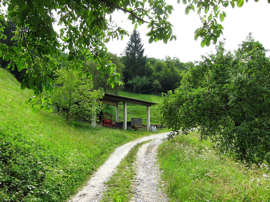
Beautiful and relatively easy to do tour in the Soca area.
Tour Galerie
Tour Karte und Höhenprofil
Minimale Höhe 160 m
Maximale Höhe 607 m
Kommentare

Point your car navigation in drection Most Na Soci. The starting point is a parking place just in front of a small pub. The tour starts from this parking place (facing the pub to your right hand side.
GPS-Tracks
Trackpunkte-
GPX / Garmin Map Source (gpx) download
-
TCX / Garmin Training Center® (tcx) download
-
CRS / Garmin Training Center® (crs) download
-
Google Earth (kml) download
-
G7ToWin (g7t) download
-
TTQV (trk) download
-
Overlay (ovl) download
-
Fugawi (txt) download
-
Kompass (DAV) Track (tk) download
-
Tourenblatt (pdf) download
-
Originaldatei des Autors (gpx) download
Zu meinen Favoriten hinzufügen
Von meinen Favoriten entfernen
Tags bearbeiten
Tour öffnen
Meine Bewertung
Bewerten


