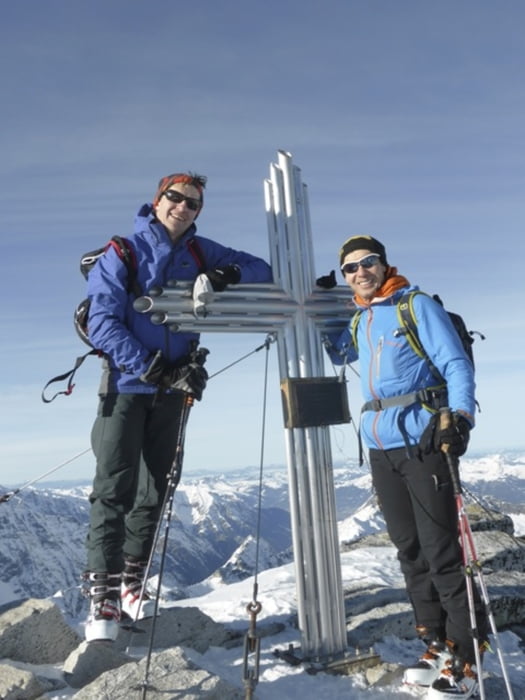
Weissee - Sonnenblick
Tour starts from the Weissee bergstation. Drop a few meters on the ski-piste, then start along the left side of the lake.Continue NW until the plateu at 2700m. From there the track goes SW until it reaches the rocks.
Descend back to tha lake along the trial, and then on the ski-piste until the parking at the tahlstation..
Galerie tras
Trasa mapa a výškový profil
Minimální výška 1460 m
Maximální výška 3083 m
Komentáře

Trasy GPS
Trackpoints-
GPX / Garmin Map Source (gpx) download
-
TCX / Garmin Training Center® (tcx) download
-
CRS / Garmin Training Center® (crs) download
-
Google Earth (kml) download
-
G7ToWin (g7t) download
-
TTQV (trk) download
-
Overlay (ovl) download
-
Fugawi (txt) download
-
Kompass (DAV) Track (tk) download
-
Formulář trasy (pdf) download
-
Původní soubor autora (gpx) download
Přidat do oblíbených
Odebrat z oblíbených položek
Upravit značky
Open track
Moje hodnocení
Hodnotit


