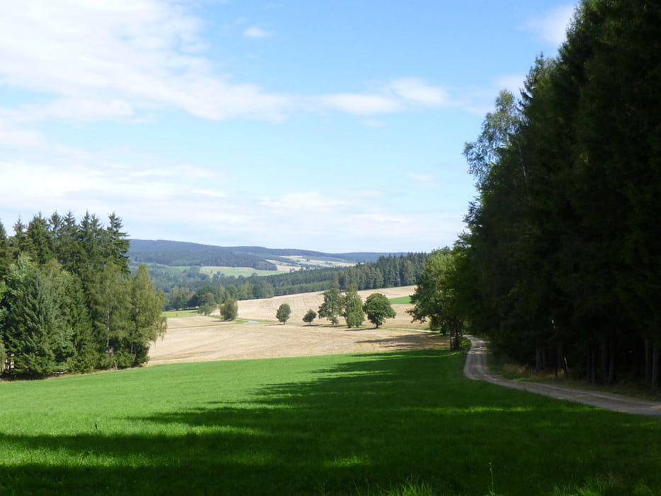
Meist naturbelassene und wassergebundene Wald-, Wiesen- und Feldwege sowie kurze Abschnitte asphaltierte, wenig befahrene Nebenstraßen. Streckenweise werden der Fernwanderweg Eisenach – Budapest und der Kammweg Erzgebirge – Vogtland begangen.
Ausführliche Beschreibung in http://www.wolf-klepzig.de/hp/wandg/Marieney-EB-Kamm-Marieney.pdf. Weitere Informationen an den Wegpunkten (Parken, Wegweiser, Bänke, Fotos zur Wegbeschaffenheit).
Další informace v části
http://www.wolf-klepzig.de/hp/wandern.htmGalerie tras
Trasa mapa a výškový profil
Komentáře

Anfahrt:
Von A72 bis Ausfahrt 6, Plauen-Süd auf B92/E49 in Richtung Bad Brambach/Bad Elster/Oelsnitz i.V. > in Elstertal links auf Marieneyer Straße.
Zieleingabe für Routenplaner 08626 Mühlental/Marieney, Saaliger Straße 1 oder die Parkplatzkoordinaten N50 22 20.1 E12 16 08.2, bei GoogleEarth und Google Maps ohne die Einheiten für Grad, Minute und Sekunde.
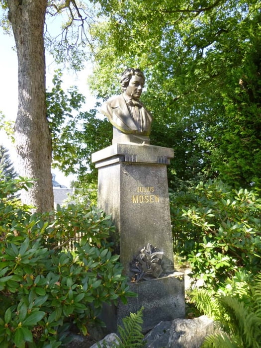
Parken: Viele Parkplätze am Denkmal N50 22 20.1 E12 16 08.2
Trasy GPS
Trackpoints-
GPX / Garmin Map Source (gpx) download
-
TCX / Garmin Training Center® (tcx) download
-
CRS / Garmin Training Center® (crs) download
-
Google Earth (kml) download
-
G7ToWin (g7t) download
-
TTQV (trk) download
-
Overlay (ovl) download
-
Fugawi (txt) download
-
Kompass (DAV) Track (tk) download
-
Formulář trasy (pdf) download
-
Původní soubor autora (gpx) download


