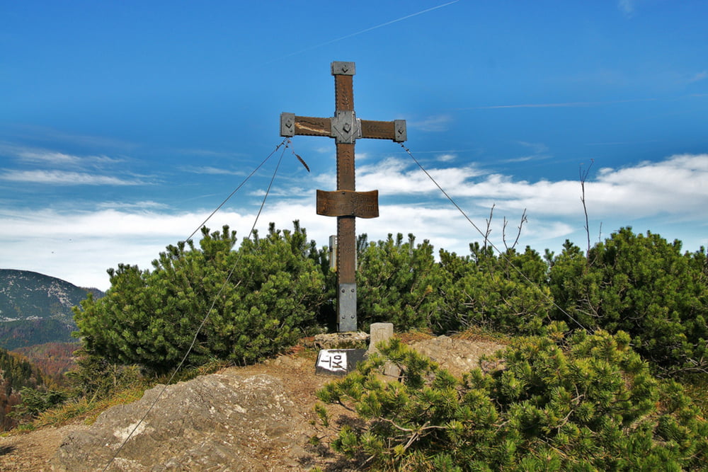
Die leichte Bergtour auf den 1.505m hohen Wasserklotz beginnt bei der Zickerreith-Almhütte am Hengstpass. Der gute Aussichtsberg im südlichen Teil vom Reichraminger Hintergebirge bietet eine Rundsicht auf mehr als 50 Zweitausender. Bis zum Ahornsattel geht man dabei auf einer Schotterstraße und dann bis zum Gipfelkreuz auf einem etwas steileren Wanderweg durch den Wald. Nur auf dem letzten Abschnitt ist ein wenig Trittfestigkeit notwendig. Im Sommer sind die Hanslalm und am Ausgangspunkt die Zickerreith-Almhütte bewirtschaftet. Im Winter ist der Wasserklotz auch ein sehr lohnendes Ziel für eine Skitour oder Schneeschuhtour.
Weitere Infos und Fotos findest du auf biketours4you.at
Galerie tras
Trasa mapa a výškový profil
Komentáře

Trasy GPS
Trackpoints-
GPX / Garmin Map Source (gpx) download
-
TCX / Garmin Training Center® (tcx) download
-
CRS / Garmin Training Center® (crs) download
-
Google Earth (kml) download
-
G7ToWin (g7t) download
-
TTQV (trk) download
-
Overlay (ovl) download
-
Fugawi (txt) download
-
Kompass (DAV) Track (tk) download
-
Formulář trasy (pdf) download
-
Původní soubor autora (gpx) download


