


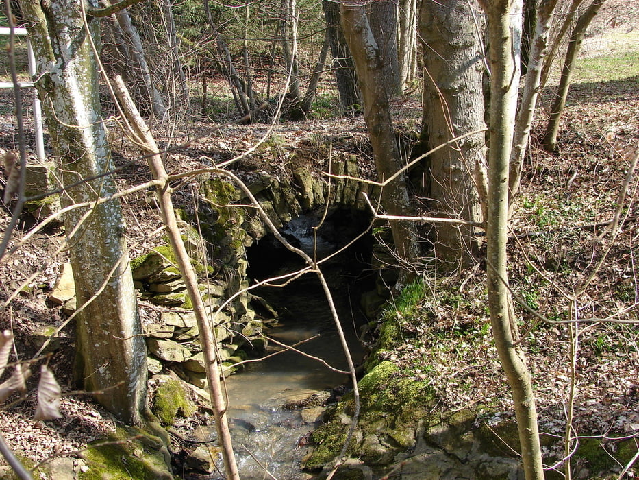
Vom Freilichtmuseum Beuren zum Engelberg und über das Schabenbachbrückle zurück nach Beuren (Rundwanderung)
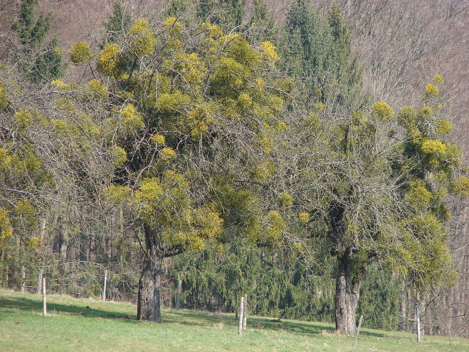
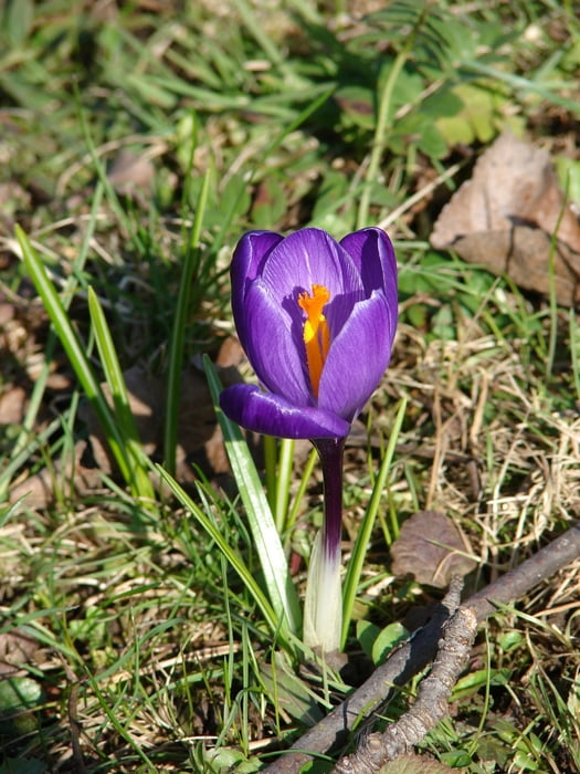
Die Wanderung eignet sich als Frühjahrstour wenn die Sonne durch die noch kahlen Bäume scheint der Schnee aber bereits weg ist. Man wandert bis auf etwa 30m Trampelpfad auf befestigten Wegen. Bei Holzfällarbeiten sind die befestigten Wege teilweise verdreckt. Eine Wegmarkierung habe ich deshalb nicht glecih gefunden. Mit GPS aber kein Problem :-)
Die Wanderung beginnt am Parkplatz des Freilichtmuseums. Wir orientieren uns am Wegzeichen blauen Raute. Sie geht dann in ein blaues Dreieck über. Die moderaten Auf- und Abstiege sind aufgrund der gut befestigten Wege kein Problem. Als Abschlusseinkehr bietet sich das Landhaus Engelberg im Freilichtmuseum an. Die Öffnungszeiten bitte dem Internet entnehmen
Galerie tras
Trasa mapa a výškový profil
Minimální výška 344 m
Maximální výška 518 m
Více o autorovi turné

|
hade |
Komentáře

Von Bad Urach kommend auf der L250 (Steige) und durch Hülben. Weiter bis zur Abzweigung am Burrenhof. Von dort links nach Erkenbrechtsweiler und die Steige abwärts nach Beuren. Am Ende der Steige nach links und gleich wieder nach rechts auf den Parkplatz des Freilichtmuseums.
Trasy GPS
Trackpoints-
GPX / Garmin Map Source (gpx) download
-
TCX / Garmin Training Center® (tcx) download
-
CRS / Garmin Training Center® (crs) download
-
Google Earth (kml) download
-
G7ToWin (g7t) download
-
TTQV (trk) download
-
Overlay (ovl) download
-
Fugawi (txt) download
-
Kompass (DAV) Track (tk) download
-
Formulář trasy (pdf) download
-
Původní soubor autora (gpx) download
Více o autorovi turné
|
|
hade |
Přidat do oblíbených
Odebrat z oblíbených položek
Upravit značky
Open track
Moje hodnocení
Hodnotit