
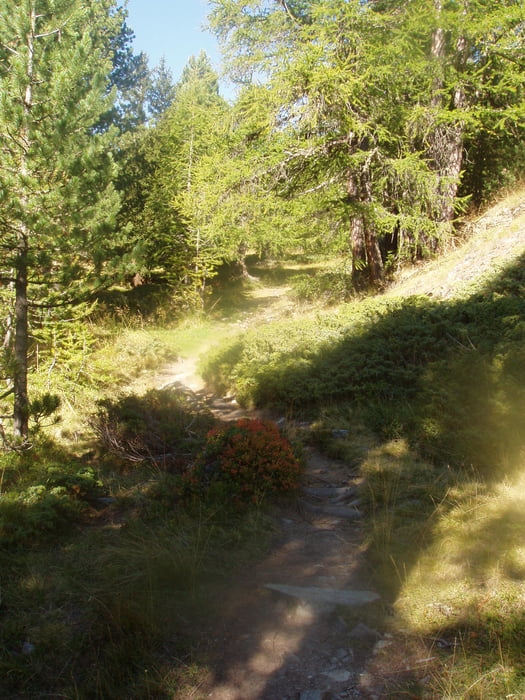

Die Zufahrt zur Moosalb ist lang und über eine gute, aber teilweise sehr schmalen Straße zu erreichen. Wir als Flachländner haben den Wagen in der Tiefgarage am Bahnhof in Stalden abgestellt und sind mit dem Bus hinauf gefahren. Wir sind gegen den Urzeigersinn gelaufen. Start war das Bergrestaurant Moosalb. Vorbei an der Breitmatte und dem Breitmattenseeund kamen wir zum Borniger See. Von hier ging es zum Stand hoch wo wir eine wunderbare Rundumsicht hatten. .Wiederum am Borniger See vorbei ging es zurück zum Ausgangspunkt. Im Bergrestaurant Moosalb, dass die Auszeichnung eines der besten Bergrestaurants der Schweiz hat, gab es ein verdientes Essen. Mit dem Bus ging es zurück nach Stalden.
Galerie tras


Trasa mapa a výškový profil
Minimální výška 1984 m
Maximální výška 2118 m
Více o autorovi turné

|
civap |
Komentáře

Von Stalden Richtung Tröbel fahren(Tröbelstraße). Auf der Staße weiter bis zur Moosalb fahren.
Besser ist den Wagen am Bahnhof Stalden abstellen und den Bus nehmen.
46.251292, 7.829472
+46° 15' 4.65", +7° 49' 46.10
Bergrestaurant Moosalpmehr
3923 Törbel
Schweiz
Trasy GPS
Trackpoints-
GPX / Garmin Map Source (gpx) download
-
TCX / Garmin Training Center® (tcx) download
-
CRS / Garmin Training Center® (crs) download
-
Google Earth (kml) download
-
G7ToWin (g7t) download
-
TTQV (trk) download
-
Overlay (ovl) download
-
Fugawi (txt) download
-
Kompass (DAV) Track (tk) download
-
Formulář trasy (pdf) download
-
Původní soubor autora (gpx) download
Více o autorovi turné
|
|
civap |
Přidat do oblíbených
Odebrat z oblíbených položek
Upravit značky
Open track
Moje hodnocení
Hodnotit