Přihlášení

Zapomenutý login?

Soubory cookie musí být akceptovány!
Funkce cookies ve vašem prohlížeči je deaktivována. Aktivujte prosím tuto funkci.

Ještě nejste členem?

Zaregistrujte se nyní
Přihlášení

Možné pouze pro přihlášené uživatele

Přihlaste se, abyste mohli tuto funkci používat.

Zapomenutý login?

Soubory cookie musí být akceptovány!
Funkce cookies ve vašem prohlížeči je deaktivována. Aktivujte prosím tuto funkci.

Ještě nejste členem?

Zaregistrujte se nyní
Filtr
Kategorie
Pokročilé filtry
  • Délka (km)
  • Výškoměr
Uložit filtr Obnovit filtr

TrackRank

QRCode

Technické údaje

Délka18,9 km Výškoměr1625 m Sestup1627 m Doba09:00 h:m Datum17.10.2013
Hodnocení Autor Krajina Faktor zábavy Náročnost Technika

Statistika

155 Přehledy Hodnocení 19 Downloady Průměr
Hodnotit
  • Formulář trasy
  • Příjezd
  • Downloady

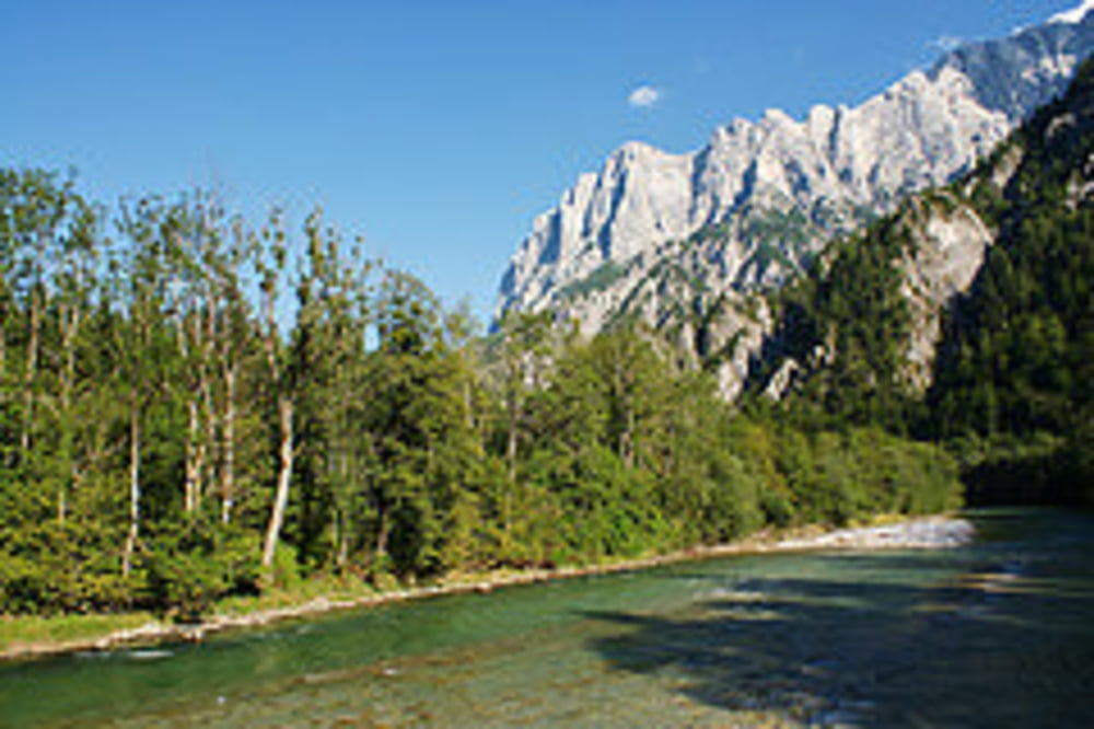
Der Große Buchstein 2.224m erhebt sich nördlich der Enns beim Gesäuseeingang und ist Teil vom Nationalpark Gesäuse. Er hat einen kastellartigen Gipfelaufbau mit allseits schroff abfallenden Felswänden aus Dachsteinkalk und ein ausgedehntes, muldenartiges Karstplateau. Vom Gipfel und vom Buchsteinhaus hat man eine hervorragende Aussicht auf die nördlichen Wände der Hochtor- und Reichsteingruppe. Dies sind besonders gute Plätze um das Alpenglühen am späten Nachmittag bzw. frühen Abend zu erleben, wenn die untergehende Sonne die Kalkwände in ein goldrotes Licht tauchen. Wegen der gestuften Passagen (UIAA I), Geröll und Seilversicherungen, sind Trittsicherheit und Schwindelfreiheit ab dem Buchsteinhaus auch auf dem Normalweg unbedingt erforderlich!

weitere Infos und Bilder findest du auf biketours4you.at

Galerie tras

Trasa mapa a výškový profil

  • Open Street Map
  • Google
Minimální výška 573 m Maximální výška 2182 m Detailní náhled

Více o autorovi turné

Trek1400d
Členem od 2008

Odeslat soukromou zprávu

Komentáře

Parkmöglichkeiten gibt es von Admont kommend kurz vor der Ennsbrücke, oder in Gstatterboden beim Naturpark Pavillon.

Trasy GPS

Trackpoints
  • GPX / Garmin Map Source (gpx) download
  • TCX / Garmin Training Center® (tcx) download
  • CRS / Garmin Training Center® (crs) download
  • Google Earth (kml) download
  • G7ToWin (g7t) download
  • TTQV (trk) download
  • Overlay (ovl) download
  • Fugawi (txt) download
  • Kompass (DAV) Track (tk) download
  • Formulář trasy (pdf) download
  • Původní soubor autora (gpx) download

Více o autorovi turné

Trek1400d
Členem od 2008

Odeslat soukromou zprávu
Share track
Přidat do oblíbených
Odebrat z oblíbených položek
Upravit značky
Moje hodnocení
Hodnotit
Trasa: Buchstein
Druh: Horská túra
Délka: 18,9 km
Hodnoceno na:
Doba:
Den(y)
Hodina(y)
Minuta(y)
Hodnocení: Krajina Faktor zábavy Náročnost Technika