


Auffahrt und Finale sind gleich wie bei Tour #126216 "Gaipahöhe - Gassertrail".
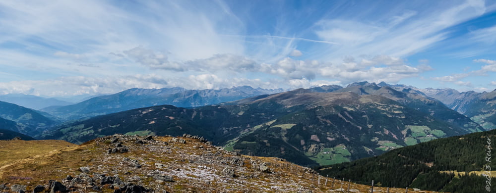
Die Tour wurde erweitert mit genialen Landschaften und herrlichen Wegen zu einer ausgewachsenen Tour.
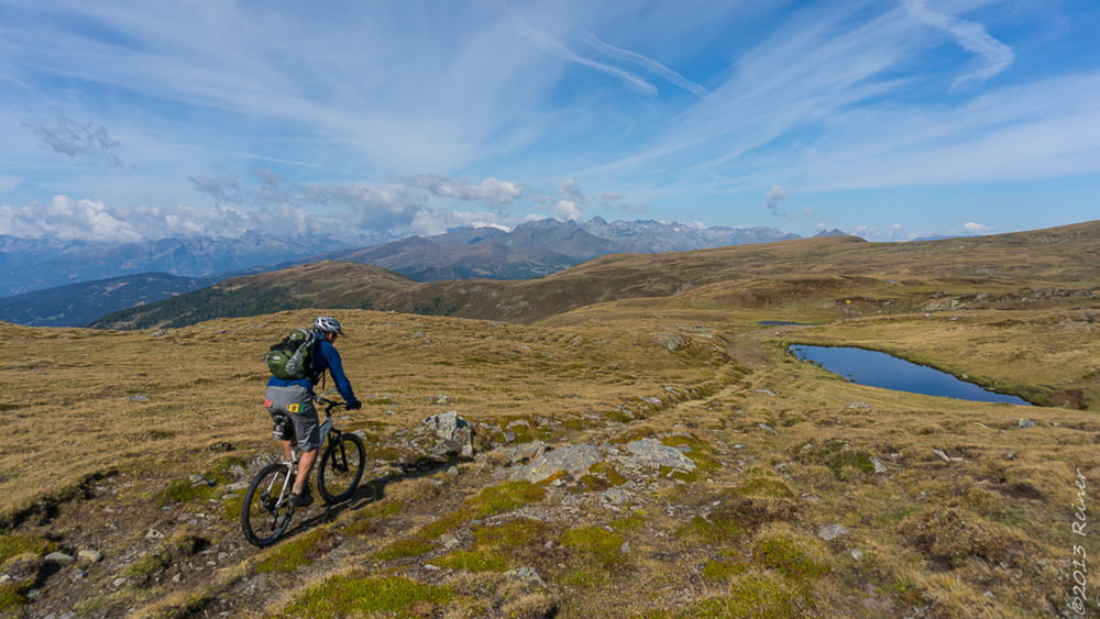
Start ist an der Kreuzung zur Nockalmstraße in Innerkrems, von dort geht es auf breiten Forstwegen mit gemütlich mit hin und wieder einer kleiner Rampe hinauf zur Blutigen Alm.
Kurz vor der Blutigen Alm wird der Weg schwerer, weil etwas ausgewaschen.
An der Blutigen Alm vorbei einige 100m auf Wiesentrail bis man wieder auf einem Forstweg kommt und diesem folgen. Am Ende an der Almhütte vorbei und auf dem Wiesenweg Richtung Anderleseen weiterfahren (evtl. schieben).
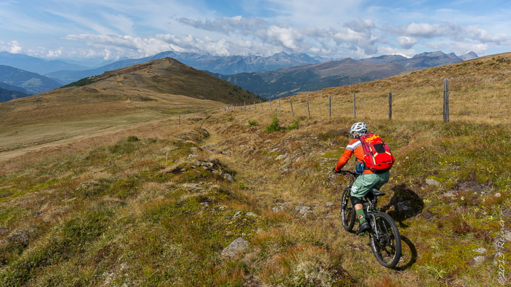
Nun geht es immer leicht auf und ab auf einem leicht fahrbaren Weg durch einige Viehgatter, bis es links zum Speickeck abgeht. Ab hier auf Wiesentrails und kleinen Pfadspuren, die letzten Meter zu Fuß zum Speickeck.
Zurück auf gleichem Weg, bis es auf einer kleinen kaum deutlichen Pfadspur zum Gipfel der Gaipahöhe geht. Teiles schiebend, teils tragend, sind aber nur knapp 100Hm.
Ab hier beginnt wieder der Spaß - 100% Singletrail bis ins Tal, alles fahrbar - einzig die vielen Weidezäune und Gatter unterbrechen den Flow.
Viel Spaß
Galerie tras
Trasa mapa a výškový profil
Minimální výška 1460 m
Maximální výška 2187 m
Více o autorovi turné

|
diax |
Komentáře

Trasy GPS
Trackpoints-
GPX / Garmin Map Source (gpx) download
-
TCX / Garmin Training Center® (tcx) download
-
CRS / Garmin Training Center® (crs) download
-
Google Earth (kml) download
-
G7ToWin (g7t) download
-
TTQV (trk) download
-
Overlay (ovl) download
-
Fugawi (txt) download
-
Kompass (DAV) Track (tk) download
-
Formulář trasy (pdf) download
-
Původní soubor autora (gpx) download
Více o autorovi turné
|
|
diax |
Přidat do oblíbených
Odebrat z oblíbených položek
Upravit značky
Open track
Moje hodnocení
Hodnotit