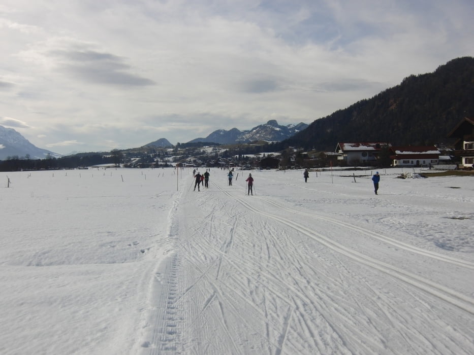
Die Loipen in Reit im Winkl waren gut präpariert. Es hat ja wenig Schnee, aber gespurt wurde abends. Damit war die Loipe hart aber eben. Gefehlt hat die Strecke vom Abzweig Blindau-Loipe bis zur Abfahrt zur Skisprungschanze. Die Abfahrt ins Schwarzlofer Tal war hart aber gut zu fahren. Keine Steine.
Insgesamt gibts für einen Tag schöne Strecken in Reit im Winkl.
Gegessen haben wir im Alpenhof Seegatterl. Die Speisekarte ist wie immer und das Essen auch. wir hatten den Eintopf von der Tageskarte - wie immer Linseneintopf und Kaiserschmarrn.
Další informace v části
http://www.reitimwinkl.de/Galerie tras
Trasa mapa a výškový profil
Komentáře

Über die A8 bis Inntaldreieck, dann die A94 bis Oberaudorf und dann die B172 bis nach Reit im Winkl. Wir stehen immer am Theresienhof. Parken kann man sonst am Stadion.
Alternativ kann man aus Richtung München auf der Bundesautobahn München-Salzburg (A8) bis nach Grabenstätt (Ausfahrt Nr. 109), weiter Richtung Marquartstein und auf der gut ausgebauten Deutschen Alpenstraße (B 305) nach Reit im Winkl.
Loipengebühr wird in Reit im Winkl keine mehr verlangt. Anscheinend war das Eintreiben teurer, als die Gebühr gebracht hat.
Trasy GPS
Trackpoints-
GPX / Garmin Map Source (gpx) download
-
TCX / Garmin Training Center® (tcx) download
-
CRS / Garmin Training Center® (crs) download
-
Google Earth (kml) download
-
G7ToWin (g7t) download
-
TTQV (trk) download
-
Overlay (ovl) download
-
Fugawi (txt) download
-
Kompass (DAV) Track (tk) download
-
Formulář trasy (pdf) download
-
Původní soubor autora (gpx) download


