Angelehnt an die Tour 40 aus dem Wanderratgeber "Wandern - 52 Rundtouren" von fraenkische-schweiz.com.
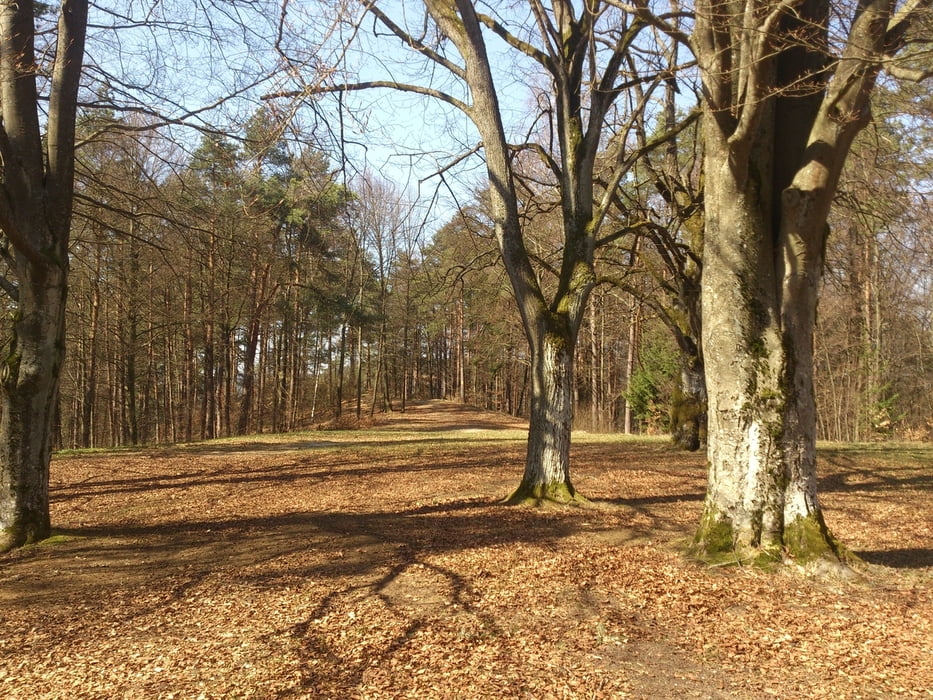
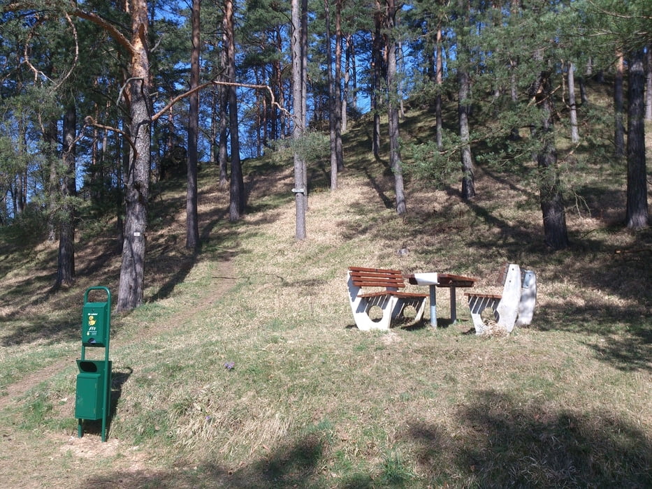
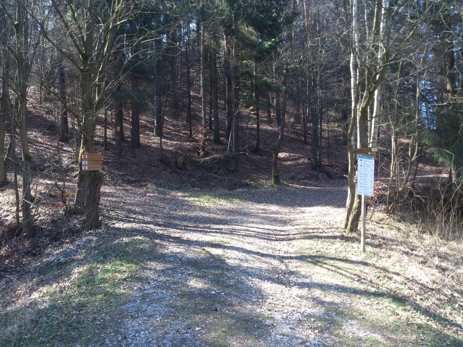
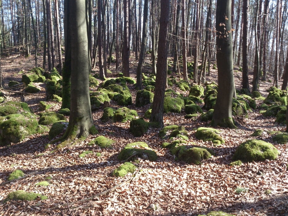
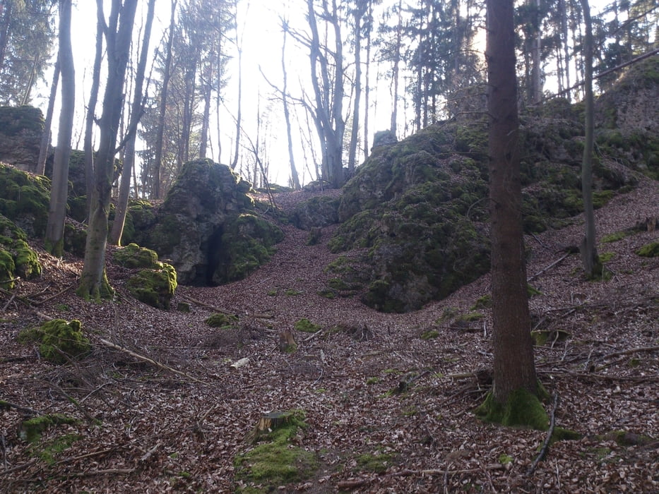
Es gibt unter anderem die historische Kirche am Startpunkt zu bestaunen, sowie folgende Wegpunkte: Gottvaterberg, Gänsebauch, Großer Berg, Judenfriedhof (ein Naturdenkmal), Plechner Wand (Kletter-Tipp) und wenn man will, kann man gegen Ende noch einen Abstecher zu einer aktiven Köhlerei machen. Der Weg dorthin ist nicht mit im .gpx enthalten, bei Bedarf aus verlinktem .pdf entnehmen.
Další informace v části
http://www.fraenkische-schweiz.com/uploads/dateien/pdf/wandern52-touren.pdfGalerie tras
Trasa mapa a výškový profil
Komentáře

Mit dem Auto nach Plech (Ausfahrt Plech auf der A9), man kann normalerweise im Ortszentrum parken und zu Fuß zum Ausgangspunkt Marktplatz gehen.
Trasy GPS
Trackpoints-
GPX / Garmin Map Source (gpx) download
-
TCX / Garmin Training Center® (tcx) download
-
CRS / Garmin Training Center® (crs) download
-
Google Earth (kml) download
-
G7ToWin (g7t) download
-
TTQV (trk) download
-
Overlay (ovl) download
-
Fugawi (txt) download
-
Kompass (DAV) Track (tk) download
-
Formulář trasy (pdf) download
-
Původní soubor autora (gpx) download

