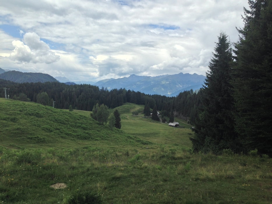
Start der Tour ist beim Umkehrplatz in Naggl.
Vor dem Schranken rechts über die Forststraße geht es vorbei am
Kraftsammelpunkt auf die Naggler Alm.
Auf der Naggler Alm der Forststraße weiter folgen (Richtung Techendorf),
nach ein paar Kehren Richtung Alte Mühle halten.
Die letzten ca.100m zur Mühle fährt man über einen wurzeligen Wanderweg.
Bei der Mühle vorbei über eine Holzbrücke und der Forststraße zurück nach Naggl.
Další informace v části
http://www.weissensee.com/Galerie tras
Trasa mapa a výškový profil
Komentáře

Gebührenpflichtige Parkplätze in Naggl
Vom Radverleih in Techendorf über die Brücke und die Seeuferstraße
nach Naggl sind es ca.3,5km.
Trasy GPS
Trackpoints-
GPX / Garmin Map Source (gpx) download
-
TCX / Garmin Training Center® (tcx) download
-
CRS / Garmin Training Center® (crs) download
-
Google Earth (kml) download
-
G7ToWin (g7t) download
-
TTQV (trk) download
-
Overlay (ovl) download
-
Fugawi (txt) download
-
Kompass (DAV) Track (tk) download
-
Formulář trasy (pdf) download
-
Původní soubor autora (gpx) download


