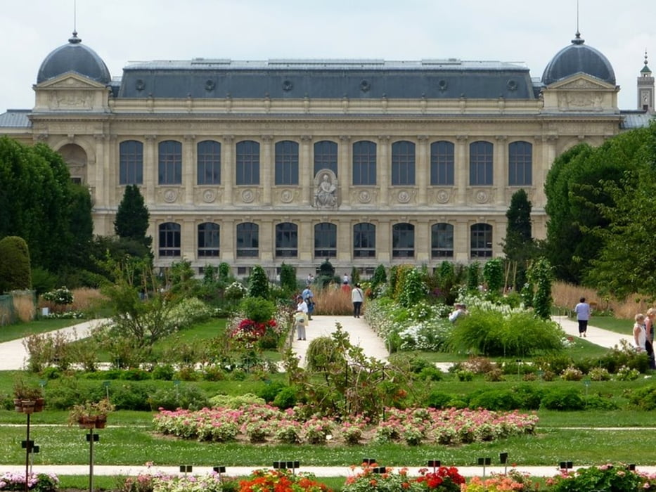
Wir starten bei der Kirche Saint-Eustache (in der Nähe des Forum des Halles), wandern vorbei am Centre Pompidou, zum Pantheon, zum Jardin des Plantes, vorbei an der Oper Bastille und von dort über ehemalige Bahngleise (Viaduc des Arts) zum Parc de Vincennes. Zurück ins Zentrum kann man die Metro ab Station "PorteDorée" nehmen.
Další informace v části
http://www.gpx-view.com/gpx.php?f=grpparis.gpxGalerie tras
Trasa mapa a výškový profil
Minimální výška 30 m
Maximální výška 81 m
Komentáře

bei der Kirche Saint Eustache (.N48° 51.783' E2° 20.704') in der Nähe der Metrostation "Les Halles"
Trasy GPS
Trackpoints-
GPX / Garmin Map Source (gpx) download
-
TCX / Garmin Training Center® (tcx) download
-
CRS / Garmin Training Center® (crs) download
-
Google Earth (kml) download
-
G7ToWin (g7t) download
-
TTQV (trk) download
-
Overlay (ovl) download
-
Fugawi (txt) download
-
Kompass (DAV) Track (tk) download
-
Formulář trasy (pdf) download
-
Původní soubor autora (gpx) download
Přidat do oblíbených
Odebrat z oblíbených položek
Upravit značky
Open track
Moje hodnocení
Hodnotit


