


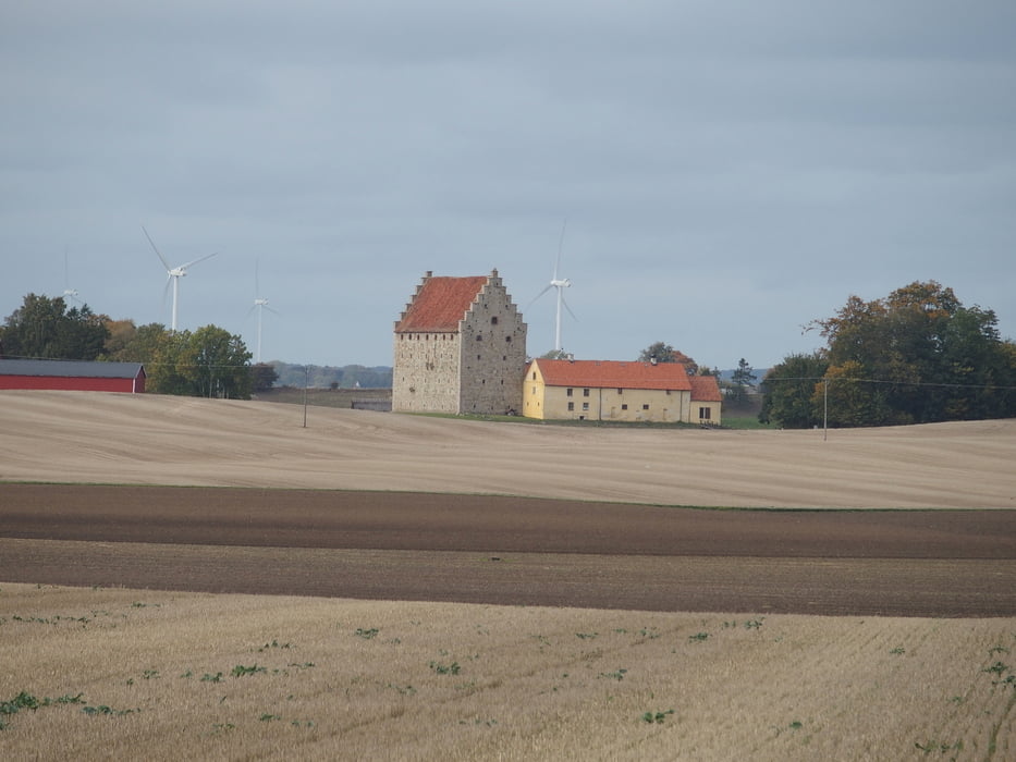
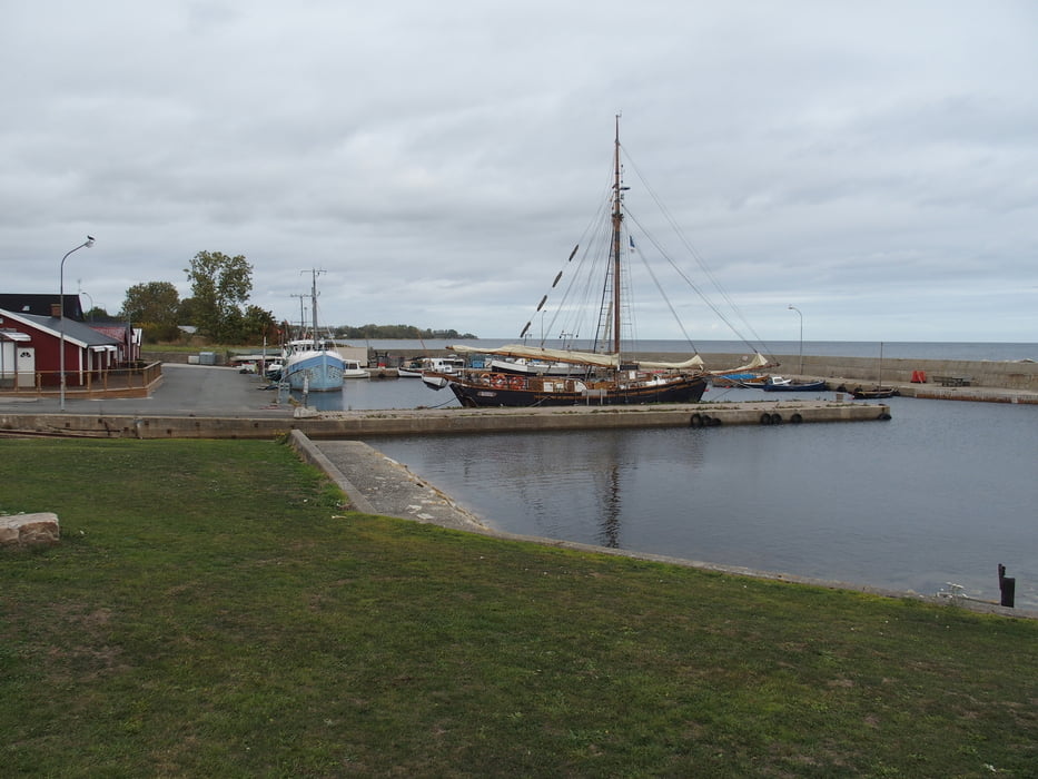
Schöne Runde von unserer Ferienwohnung aus durch Österlen. Wind war ganz schön heftig aus südlicher und südöstlicher Richtung. Am Anfang gehts duch Laubwald und später durch landwirtschaftlich genutzte Landschaft. Ab Skillinge gehts an der Küste lang, das natürlich einen besonderen Reiz hat.
Uns hat besonders der Anfang und der Schluß gefallen. Eingekehrt sind wir in Hamnhög in der Gästgiveri. Dagens rätt aus Erbsensuppe und Pfannkuchen. War wirklich lecker und für 85 SEK nicht teuer. Danach lief es dann fast wie von alleine :-)
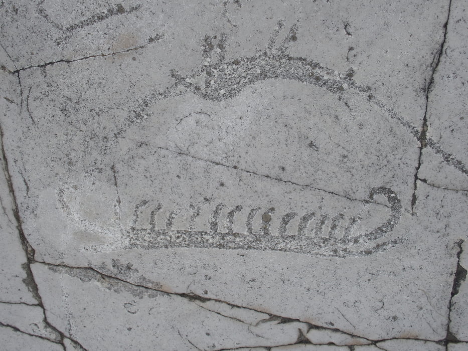
Interessant sind die Hällristningar mit Äxten und Schiffen kurz vor Simrishamn. Wir haben schon verschiedene gesehen. Diese sind gut erkennbar obwohl nicht nachgezeichnet.
Další informace v části
https://www.google.com/url?sa=t&rct=j&q=&esrc=s&source=web&cd=1&cad=rja&uact=8&ved=2ahUKEwiCueTnoe3dAhXPqIsKHYghCMAQFjAAegQICBAB&url=https%3A%2F%2Fwww.sverigesnationalparker.se%2Fpark%2Fstenshuvuds-nationalpark%2F&usg=AOvVaw3otzs10b5xR9NdEgJsBOiyGalerie tras
Trasa mapa a výškový profil
Minimální výška -1 m
Maximální výška 152 m
Více o autorovi turné

|
smartandem |
Komentáře

Von Malmö aus über die Straße 9 bis Kivik fahren. Wir hatten Ferienwohnung in der Nähe des Stenhuvud Nationalpark..
Parken könnte man auch in Simrishamn oder Tomelilla und die Runde nach Kivik ausdehnen.
Nach Schweden sind wir mti der Fähre Rostock - Trelleborg gefahren.
Trasy GPS
Trackpoints-
GPX / Garmin Map Source (gpx) download
-
TCX / Garmin Training Center® (tcx) download
-
CRS / Garmin Training Center® (crs) download
-
Google Earth (kml) download
-
G7ToWin (g7t) download
-
TTQV (trk) download
-
Overlay (ovl) download
-
Fugawi (txt) download
-
Kompass (DAV) Track (tk) download
-
Formulář trasy (pdf) download
-
Původní soubor autora (gpx) download
Více o autorovi turné
|
|
smartandem |
Přidat do oblíbených
Odebrat z oblíbených položek
Upravit značky
Open track
Moje hodnocení
Hodnotit