

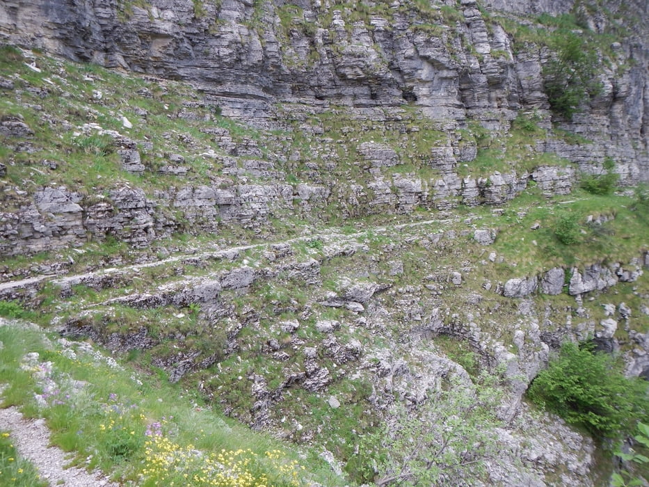
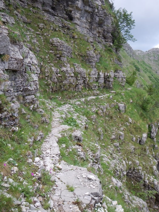
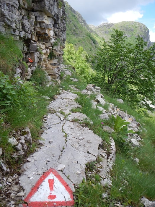
Some parts of the trail are very narrow. You should be free from giddiness.
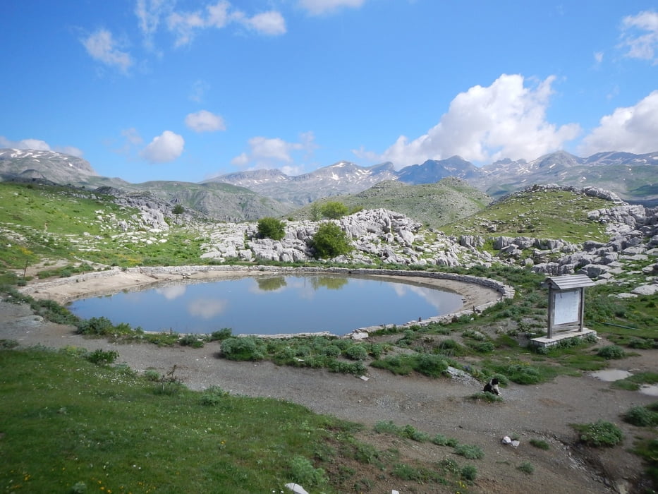
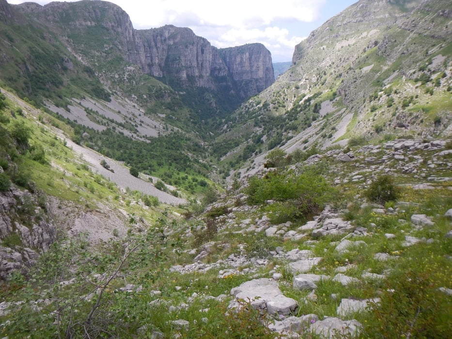
But you see wonderful nature, canyons, rocks, flowers, ...
Use good shoes, longer parts of the trail are full of rocks and stones.
But you see wonderful nature, canyons, rocks, flowers, ...
Use good shoes, longer parts of the trail are full of rocks and stones.
Galerie tras
Trasa mapa a výškový profil
Minimální výška 1569 m
Maximální výška 1763 m
Více o autorovi turné

|
Mapdekode |
Komentáře

Drive from Kapesovo to Vradeto. Short before the highest point of the road, right connect a dust road. We park after 500m on this road. If you don't like to drive on dust roads, you have to walk 1 km more.
Trasy GPS
Trackpoints-
GPX / Garmin Map Source (gpx) download
-
TCX / Garmin Training Center® (tcx) download
-
CRS / Garmin Training Center® (crs) download
-
Google Earth (kml) download
-
G7ToWin (g7t) download
-
TTQV (trk) download
-
Overlay (ovl) download
-
Fugawi (txt) download
-
Kompass (DAV) Track (tk) download
-
Formulář trasy (pdf) download
-
Původní soubor autora (gpx) download
Více o autorovi turné
|
|
Mapdekode |
Přidat do oblíbených
Odebrat z oblíbených položek
Upravit značky
Open track
Moje hodnocení
Hodnotit