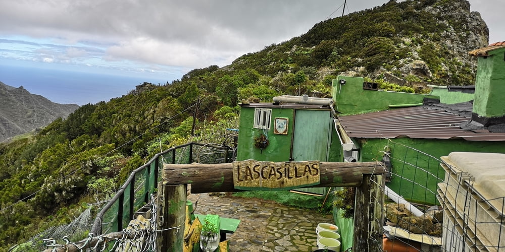
Schmaler Pfad der bei Regen rutschig ist. Am Anfang der Wanderung geht es durch dichten Wald hinab. Je weiter man abwärts kommt werden die Bäume lichter und man hat herrliche Blicke auf das Anaga Gebirge. Der Weg geht offiziell bis Igueste. Ich bin aber nicht bis Igueste hinuntergewandert sondern umgedreht nachdem ich das bei einer weiteren Wanderung machen werde.
https://www.gps-tour.info/de/touren/detail.166391.html
Nach der Wanderung kann noch gut diese Wanderung dazugenommen werden.
https://www.gps-tour.info/de/touren/detail.166397.html
Galerie tras
Trasa mapa a výškový profil
Komentáře

Trasy GPS
Trackpoints-
GPX / Garmin Map Source (gpx) download
-
TCX / Garmin Training Center® (tcx) download
-
CRS / Garmin Training Center® (crs) download
-
Google Earth (kml) download
-
G7ToWin (g7t) download
-
TTQV (trk) download
-
Overlay (ovl) download
-
Fugawi (txt) download
-
Kompass (DAV) Track (tk) download
-
Formulář trasy (pdf) download
-
Původní soubor autora (gpx) download


