 16,00 Km
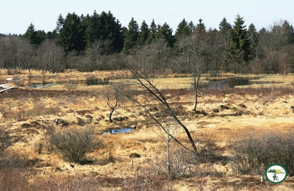
Westlich von Mützenich liegt links und rechts der N67 (Mützenich – Eupen) ein ausgedehntes Venn-Gebiet: Brackvenn, Nahtsief, Königliches Torfmoor, Im Platten Venn, Imgenbroicher Venn und einige mehr bilden eine landschaftliche Einheit.
Unsere Tour (16 km, 130 hm) verbindet mehrere von ihnen: Im Platten Venn, Brackvenn, Imgenbroicher Venn, Steinley und Nahtsief. Durch die einzelnen Gebiete führen schmale Stege und Pfade (7 km), verbunden sind sie durch Wald- und Wiesenwege (6 km) sowie durch Schotterwege und einen Abschnitt mit Asphalt; das lässt sich auf ausgedehnten Wanderungen im Venn kaum vermeiden!
Wegeverlauf: Parkplatz Nahtsief – Im Platten Venn – Grenzweg – Brackvenn – Kaiser-Karls-Bettstatt – Steling – Schennskul – Imgenbroicher Venn – Steinley – Hahnestreck – Rotenbüchel – Verbrannte Brücke - Nahtsief*)
Další informace v části
http://der-eifelyeti.de/2018/12/09/das-venn-bei-muetzenich/Trasa mapa a výškový profil
Komentáře

Trasy GPS
Trackpoints-
GPX / Garmin Map Source (gpx) download
-
TCX / Garmin Training Center® (tcx) download
-
CRS / Garmin Training Center® (crs) download
-
Google Earth (kml) download
-
G7ToWin (g7t) download
-
TTQV (trk) download
-
Overlay (ovl) download
-
Fugawi (txt) download
-
Kompass (DAV) Track (tk) download
-
Formulář trasy (pdf) download
-
Původní soubor autora (gpx) download

