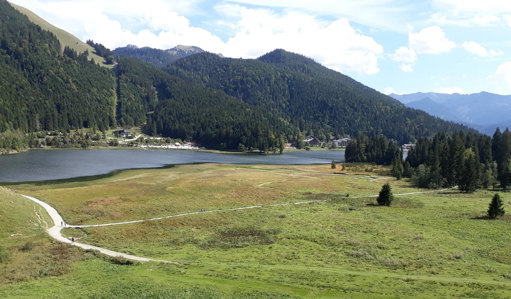
Konditionell etwas fordernde Tour mit zum Teil historischem Background (Bockerlbahn)
Start in Rottach. Einrollen entlang der Weissach nach Kreuth und weiter zur Schwaigeralm. Vorbei an der Bayralm und entlang der Bairache bis zur Brandenburger Ache. Weiter in Richtung Erzherzog Johann Klause, jedoch nicht dorthin abbiegen, sondern weiter auf dem Forstweg in Richtung Valepp. Von dort auf Asphalt in Richtung Spitzing. An der Bushaltestelle Watzinger Alm links auf den Wandrweg zum Blecksteinhaus. Den See linksseitig bis zum Spitzingsattel umfahren. Kurz dahinter auf den Wanderweg nach Neuhaus abbiegen. In Neuhaus links auf den Forstweg zur Kühzaglalm. Nach der dortigen Abfahrt im Weiler Kühzagl links auf Asphalt in Richtung Entenrottach. Am Ende dieser Straße rechts und danach gleich wieder links auf den Wanderweg durch den Wald nach Rottach.
Trasa mapa a výškový profil
Komentáře

Trasy GPS
Trackpoints-
GPX / Garmin Map Source (gpx) download
-
TCX / Garmin Training Center® (tcx) download
-
CRS / Garmin Training Center® (crs) download
-
Google Earth (kml) download
-
G7ToWin (g7t) download
-
TTQV (trk) download
-
Overlay (ovl) download
-
Fugawi (txt) download
-
Kompass (DAV) Track (tk) download
-
Formulář trasy (pdf) download
-
Původní soubor autora (gpx) download


