Přihlášení

Zapomenutý login?

Soubory cookie musí být akceptovány!
Funkce cookies ve vašem prohlížeči je deaktivována. Aktivujte prosím tuto funkci.

Ještě nejste členem?

Zaregistrujte se nyní
Přihlášení

Možné pouze pro přihlášené uživatele

Přihlaste se, abyste mohli tuto funkci používat.

Zapomenutý login?

Soubory cookie musí být akceptovány!
Funkce cookies ve vašem prohlížeči je deaktivována. Aktivujte prosím tuto funkci.

Ještě nejste členem?

Zaregistrujte se nyní
Filtr
Kategorie
Pokročilé filtry
  • Délka (km)
  • Výškoměr
Uložit filtr Obnovit filtr

TrackRank

QRCode

Technické údaje

Délka20,2 km Výškoměr1030 m Sestup1016 m Doba02:45 h:m Datum07.07.2020
Hodnocení Autor Krajina Faktor zábavy Náročnost Technika

Statistika

161 Přehledy Hodnocení 31 Downloady Průměr
Hodnotit
  • Formulář trasy
  • Příjezd
  • Downloady

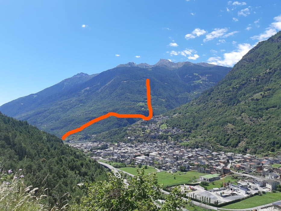
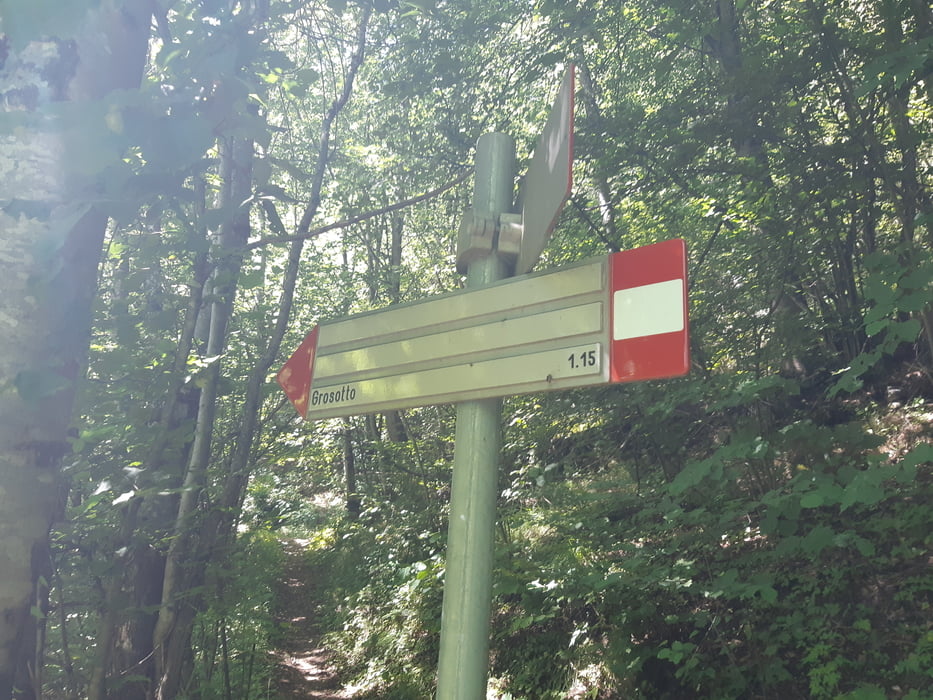
Wir starten im Albergo Drosde in Grosio und fahren etwa 1 km bis nach Grosotto. Auf Asphalt die etwas mehr als 1000 hm, wobei steile Rampen mit flachen Passagen abwechseln. Das erste Trailstück weitegehend flach im Wald, bis eine Passage mit 52 Kehren durch steilen Wald führt. Der Weg ist durchgehend befahrbar, da er in der Vergangenheit mit Natursteinmauern befestigt war (S1). Nach der Querung unserer Auffahrtstraße führt der Trail in einen Graben (S1) und zuletzt steil nach Grosotto (S2). Eine super Tour mit wenig Aufwand.

Erlebnis:

Die Straße ist wegen Baumfällarbeiten gesperrt. Da wir keine Alternative kennen, tasten wir uns vorsichtig zu den Waldarbeitern weiter. Als diese uns sehen, kein schreien und drohen wie in Österreich oder im bayerischen Oberland. Sie grüßen nett, unterbrechen ihre Arbeit und heben uns sogar das Zugseil hoch, damit wir durchfahren können. Wir sind mehr als psoitiv überrascht und wissen wieder, warum wir lieber in Italien und der Schweiz biken.

Galerie tras

Trasa mapa a výškový profil

  • Open Street Map
  • Google
Minimální výška 608 m Maximální výška 1581 m Detailní náhled

Více o autorovi turné

Klaus112
Členem od 2011

Odeslat soukromou zprávu

Komentáře

Schnellstraße Bormio-Tirano bis zur Ausfahrt Grosio. Dort kann direkt geparkt werden.

Trasy GPS

Trackpoints
  • GPX / Garmin Map Source (gpx) download
  • TCX / Garmin Training Center® (tcx) download
  • CRS / Garmin Training Center® (crs) download
  • Google Earth (kml) download
  • G7ToWin (g7t) download
  • TTQV (trk) download
  • Overlay (ovl) download
  • Fugawi (txt) download
  • Kompass (DAV) Track (tk) download
  • Formulář trasy (pdf) download
  • Původní soubor autora (gpx) download

Více o autorovi turné

Klaus112
Členem od 2011

Odeslat soukromou zprávu
Share track
Přidat do oblíbených
Odebrat z oblíbených položek
Upravit značky
Moje hodnocení
Hodnotit
Trasa: Grosottotrail
Druh: Horské kolo
Délka: 20,2 km
Hodnoceno na:
Doba:
Den(y)
Hodina(y)
Minuta(y)
Hodnocení: Krajina Faktor zábavy Náročnost Technika