Přihlášení

Zapomenutý login?

Soubory cookie musí být akceptovány!
Funkce cookies ve vašem prohlížeči je deaktivována. Aktivujte prosím tuto funkci.

Ještě nejste členem?

Zaregistrujte se nyní
Přihlášení

Možné pouze pro přihlášené uživatele

Přihlaste se, abyste mohli tuto funkci používat.

Zapomenutý login?

Soubory cookie musí být akceptovány!
Funkce cookies ve vašem prohlížeči je deaktivována. Aktivujte prosím tuto funkci.

Ještě nejste členem?

Zaregistrujte se nyní
Filtr
Kategorie
Pokročilé filtry
  • Délka (km)
  • Výškoměr
Uložit filtr Obnovit filtr

TrackRank

QRCode

Technické údaje

Délka17,7 km Výškoměr478 m Sestup469 m Doba05:00 h:m Datum04.08.2020
Hodnocení Autor Krajina Faktor zábavy Náročnost Technika

Statistika

554 Přehledy Hodnocení 18 Downloady Průměr
Hodnotit
  • Formulář trasy
  • Příjezd
  • Downloady

Dies ist eine Tour aus dem Wanderführer vom Ferienland DONAU-RIES. Ich habe die Tour noch um die Besteigung des Ipf erweitert.

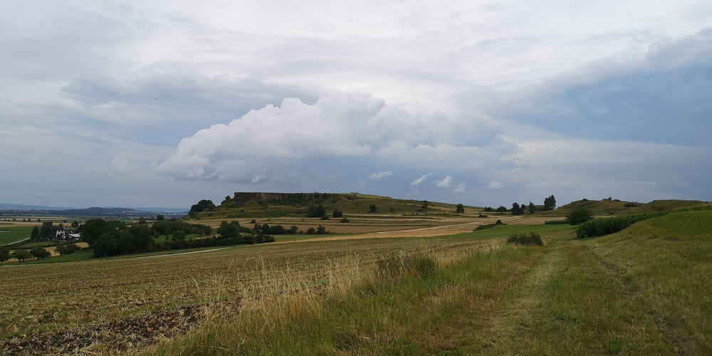
Es geht durch eine Hügelige Landschaft die weite Blicke in den Ries Krater erlaubt. Nördlingen mit dem Kirchturm Daniel ist ein markanter Punkt. Die Wanderung ist abwechslungsreich und einsam. Man begegnet fast keinen. Nur beim Ipf wird man anderen Ausflügler begegnen da hier direkt eine Straße mit Parkplatz angrenzt. Aber es sind trotzdem nur ein paar. Im Führer wird die Gehzeit (ohne Ipf Besteigung) mit 4h angegeben. Da darf man die vielen Info Tafeln aber nicht lesen.

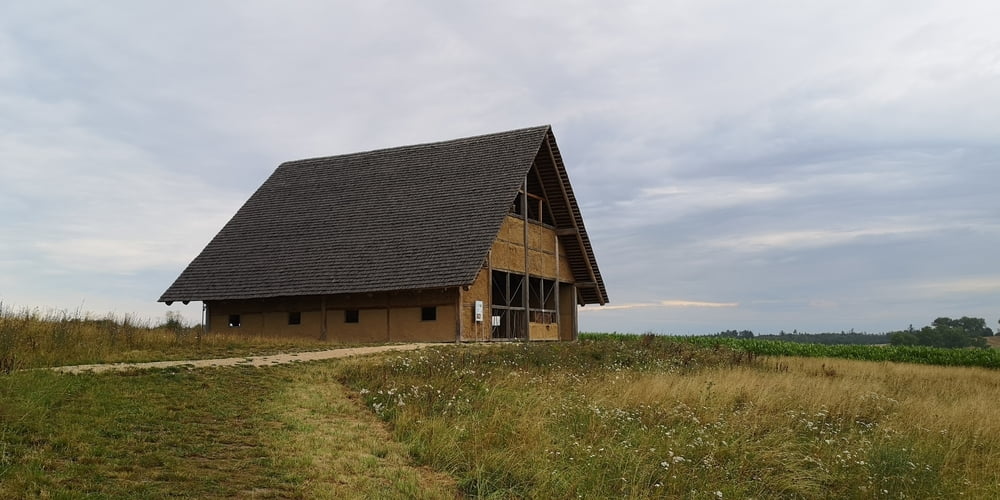
Die hügelige Landschaft ist beeindrucken! Die Magerwiesen sind durch Jahrhunderte von Schafbeweidung geprägt. Die Info Tafeln bieten viel historische Informationen über die Kelten die hier einmal gesiedelt haben.

Galerie tras

Trasa mapa a výškový profil

  • Open Street Map
  • Google
Minimální výška 472 m Maximální výška 680 m Detailní náhled

Více o autorovi turné

JoachimDief
Členem od 2016

Odeslat soukromou zprávu

Komentáře

Nach Kirchheim am Ries fahren und im Klosterhof parken.

Trasy GPS

Trackpoints
  • GPX / Garmin Map Source (gpx) download
  • TCX / Garmin Training Center® (tcx) download
  • CRS / Garmin Training Center® (crs) download
  • Google Earth (kml) download
  • G7ToWin (g7t) download
  • TTQV (trk) download
  • Overlay (ovl) download
  • Fugawi (txt) download
  • Kompass (DAV) Track (tk) download
  • Formulář trasy (pdf) download
  • Původní soubor autora (gpx) download

Více o autorovi turné

JoachimDief
Členem od 2016

Odeslat soukromou zprávu
Share track
Přidat do oblíbených
Odebrat z oblíbených položek
Upravit značky
Moje hodnocení
Hodnotit
Trasa: Keltenweg mit Ipf
Druh: Turistika 
Délka: 17,7 km
Hodnoceno na:
Doba:
Den(y)
Hodina(y)
Minuta(y)
Hodnocení: Krajina Faktor zábavy Náročnost Technika