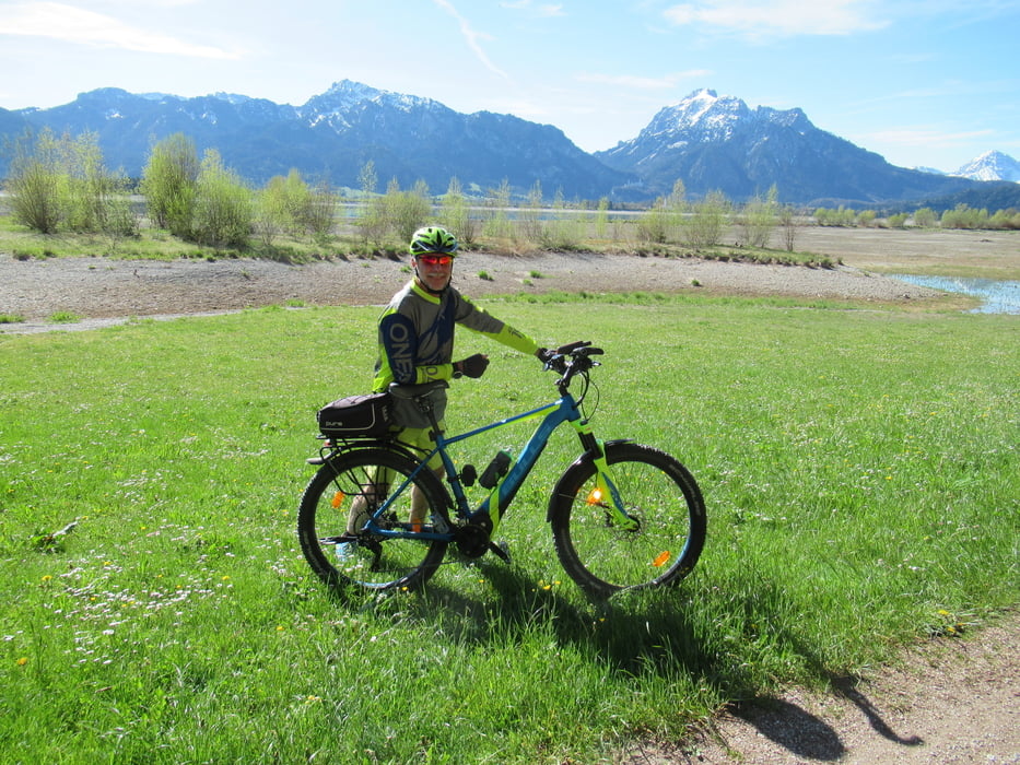
Mit unseren E-MTB haben wir es in 4h geschafft, ohne Motor halt eine Stunde länger. Wir haben die Tour in Rieden am Forggensee begonnen. Von hier aus am See entlang bis Füssen, bleiben aber stets am Lech. Nach Füssen steuern wir den Alatsee an, leider völlig überlaufen an einem Sonntag. Die Strasse zum Weissensee dichter Ausflugsverkehr. Nach Pfronten leider neben der B310. Weiter zum Schweinegger Weiher durch die sanfte Hügellandschaft. Danach gehts steil durch den Wald rauf zur Burgruine Hohenfreyberg. Ohne Motor etwas anstrengend wenn man nicht mehr der Jüngste ist. Für die Jüngeren eine schöne Herausforderung. Nun fast nur noch abwärts bis zum Hopfensee, hier scheinen wohl die "Ärmeren" zu wohnen, mit Blick auf Berge und Neuschwanstein. Jetzt sind es nur noch ein paar Kilometer bis zum Ausgangspunkt.
Galerie tras
Trasa mapa a výškový profil
Minimální výška 765 m
Maximální výška 1034 m
Komentáře

Auf der B16 in Richtung Füssen. Ein paar Kilometer vor Füssen ist die Ortschaft Rieden, dort kann man links abbiegen und an einem Wanderparkplatz gut parken.
Trasy GPS
Trackpoints-
GPX / Garmin Map Source (gpx) download
-
TCX / Garmin Training Center® (tcx) download
-
CRS / Garmin Training Center® (crs) download
-
Google Earth (kml) download
-
G7ToWin (g7t) download
-
TTQV (trk) download
-
Overlay (ovl) download
-
Fugawi (txt) download
-
Kompass (DAV) Track (tk) download
-
Formulář trasy (pdf) download
-
Původní soubor autora (gpx) download
Přidat do oblíbených
Odebrat z oblíbených položek
Upravit značky
Open track
Moje hodnocení
Hodnotit


