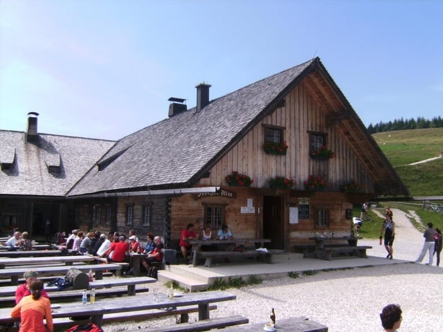
Eine der vielen Auffahrten auf die Stoißer Alm (Teisenberg). Parken kurz vor Adlgass bei Inzell; dem Track folgend zum Teil knackig (VDO-Tacho zeigte kurzzeitig bis 17 % Steigung an) an mehreren Abzweigungen vorbei bis in den Sattel. Nach dem folgenden Steilstück besteht die Möglichkeit, nach rechts auf ebenen Fußweg abzuzweigen. Schöner aber geradeaus und den Gipfel mitnehmen, man kann dann von der Bergseite zur Alm abfahren.
siehe auch die 7 anderen, von mir erfaßten Varianten:
/de/touren/detail.19567.html
/de/touren/detail.19652.html
/de/touren/detail.19665.html
/de/touren/detail.19888.html
/de/touren/detail.19890.html
/de/touren/detail.21282.html
/de/touren/detail.84482.html
Další informace v části
http://www.dav-teisendorf.de/dud/teisenberg.htmGalerie tras
Trasa mapa a výškový profil
Komentáře

Trasy GPS
Trackpoints-
GPX / Garmin Map Source (gpx) download
-
TCX / Garmin Training Center® (tcx) download
-
CRS / Garmin Training Center® (crs) download
-
Google Earth (kml) download
-
G7ToWin (g7t) download
-
TTQV (trk) download
-
Overlay (ovl) download
-
Fugawi (txt) download
-
Kompass (DAV) Track (tk) download
-
Formulář trasy (pdf) download
-
Původní soubor autora (gpx) download


