


Grenoble is surrounded by three mountain ranges: Chartreuse, Vercors and Belledonnes. During this trip we visited the Vercors.
We left Grenoble following the cycling path along the right bank of Isere northwards (downstream).
We started the exhausting climb in Veurey-Voroize and travelled uphill for next 17 kilometers achieving 1100 metres of climb.
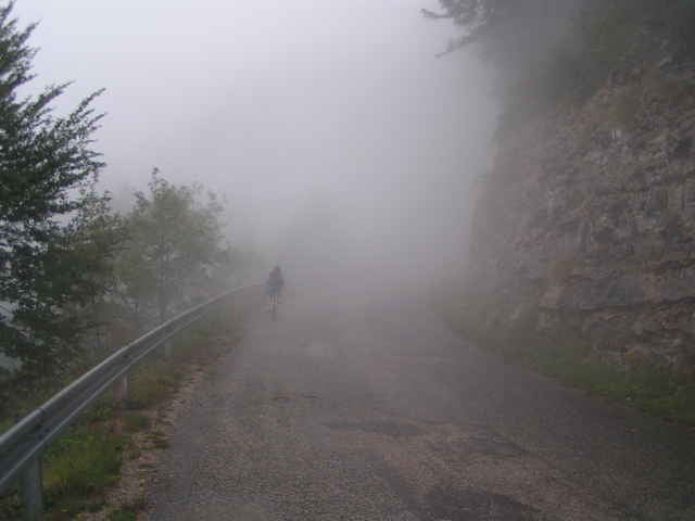
Roads were rather free of cars and after passing Montaud we have seen almost no cars at all. The reason for that was a rupture of the road shortly before the Tunnel de Mortier.
Because of the bad weather we abandoned the idea of passing the interruption and returned along the same route.
We left Grenoble following the cycling path along the right bank of Isere northwards (downstream).
We started the exhausting climb in Veurey-Voroize and travelled uphill for next 17 kilometers achieving 1100 metres of climb.
Roads were rather free of cars and after passing Montaud we have seen almost no cars at all. The reason for that was a rupture of the road shortly before the Tunnel de Mortier.
Because of the bad weather we abandoned the idea of passing the interruption and returned along the same route.
Galerie tras
Trasa mapa a výškový profil
Minimální výška 196 m
Maximální výška 1304 m
Více o autorovi turné

|
azzie |
Komentáře

You can start from anywhere in Grenoble or Voreppe.
If you are looking for a longer trip, consider reaching the same point through Lans-en-Vercors and Autrans.
If you are looking for a longer trip, consider reaching the same point through Lans-en-Vercors and Autrans.
Trasy GPS
Trackpoints-
GPX / Garmin Map Source (gpx) download
-
TCX / Garmin Training Center® (tcx) download
-
CRS / Garmin Training Center® (crs) download
-
Google Earth (kml) download
-
G7ToWin (g7t) download
-
TTQV (trk) download
-
Overlay (ovl) download
-
Fugawi (txt) download
-
Kompass (DAV) Track (tk) download
-
Formulář trasy (pdf) download
-
Původní soubor autora (gpx) download
Více o autorovi turné
|
|
azzie |
Přidat do oblíbených
Odebrat z oblíbených položek
Upravit značky
Open track
Moje hodnocení
Hodnotit