Přihlášení

Zapomenutý login?

Soubory cookie musí být akceptovány!
Funkce cookies ve vašem prohlížeči je deaktivována. Aktivujte prosím tuto funkci.

Ještě nejste členem?

Zaregistrujte se nyní
Přihlášení

Možné pouze pro přihlášené uživatele

Přihlaste se, abyste mohli tuto funkci používat.

Zapomenutý login?

Soubory cookie musí být akceptovány!
Funkce cookies ve vašem prohlížeči je deaktivována. Aktivujte prosím tuto funkci.

Ještě nejste členem?

Zaregistrujte se nyní
Filtr
Kategorie
Pokročilé filtry
  • Délka (km)
  • Výškoměr
Uložit filtr Obnovit filtr

TrackRank

QRCode

Technické údaje

Délka33,5 km Výškoměr643 m Sestup640 m Doba02:30 h:m Datum22.10.2008
Hodnocení Autor Krajina Faktor zábavy Náročnost Technika

Statistika

1574 Přehledy 1 Hodnocení 372 Downloady 1.00 Průměr
Hodnotit
  • Formulář trasy
  • Příjezd
  • Downloady

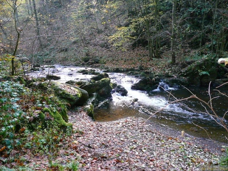
This is a combinatioon of 2 other tracks I have already published and is the best one for autumn and spring when the colours are at their finest.

The scenery is breathtaking and some of the trails are quite tricky, especially the single trail round the edge of the lake at Robertville (this can easily be avoided by sticking to the road if you don't want the tricky route)

The scenery from above Robertville is fantastic.

You need pretty good condition for some of the very steep climbs

There are a few technical passages but they are not very long so if you have to walk them, it is not a disaster.

Další informace v části

http://www.creamteam.be

Galerie tras

Trasa mapa a výškový profil

  • Open Street Map
  • Google
Minimální výška 338 m Maximální výška 562 m Detailní náhled

Více o autorovi turné

Cream Team
Členem od 2007

Odeslat soukromou zprávu

Komentáře

Mark_Maurissen on 29.11.2009

tocht Malmedy

Wij rijden graag technisch met de fiets. Zeer 'mooie' tocht maar haal aub de 4sterren bij techniek weg en maak daar 1 of 2 van! Alvast bedankt, Mark
Start and finish at the cathedral in Malmedy and follow the track clockwise going up the Warche valley to the lake at Robertville

Trasy GPS

Trackpoints
  • GPX / Garmin Map Source (gpx) download
  • TCX / Garmin Training Center® (tcx) download
  • CRS / Garmin Training Center® (crs) download
  • Google Earth (kml) download
  • G7ToWin (g7t) download
  • TTQV (trk) download
  • Overlay (ovl) download
  • Fugawi (txt) download
  • Kompass (DAV) Track (tk) download
  • Formulář trasy (pdf) download
  • Původní soubor autora (gpx) download

Více o autorovi turné

Cream Team
Členem od 2007

Odeslat soukromou zprávu
Share track
Přidat do oblíbených
Odebrat z oblíbených položek
Upravit značky
Moje hodnocení
Hodnotit
Trasa: Malmedy Warche 04
Druh: Horské kolo
Délka: 33,5 km
Hodnoceno na:
Doba:
Den(y)
Hodina(y)
Minuta(y)
Hodnocení: Krajina Faktor zábavy Náročnost Technika