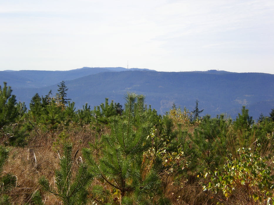
Ab Dobel gehts am Wasserturm und Bauhof vorbei auf einem Teil vom Westweg zum ersten Trail (Karl-Postweilerweg)der ins Eyachtal führt.Weiter gehts übers Düreych wo es rechts ab auf einem Trail bis zur Stillwasserhütte hochgeht.Von dort gehts weiter auf den Langmannskopf wo es auf einen kurzen Trail(Westweg) zur Hahnenfalzhütte runter und weiter rechts hoch auf dem Westweg.Danach weiter bis ca 100 m. nach der Schweizerkopfhütte links ab in einen weiteren Trail.Weiter auf dem Teichlohweg und dann rechts ab auf einen kurzen Trail.Dann rechts hoch auf geteertem Weg folgen dann links weiter auf Fortsweg bis es rechts hoch geht übers Mehlwegle aufs Weithäusle.Von dort zurück zum Dobel.
Galerie tras
Trasa mapa a výškový profil
Komentáře
Trasy GPS
Trackpoints-
GPX / Garmin Map Source (gpx) download
-
TCX / Garmin Training Center® (tcx) download
-
CRS / Garmin Training Center® (crs) download
-
Google Earth (kml) download
-
G7ToWin (g7t) download
-
TTQV (trk) download
-
Overlay (ovl) download
-
Fugawi (txt) download
-
Kompass (DAV) Track (tk) download
-
Formulář trasy (pdf) download
-
Původní soubor autora (gpx) download


Abweichung.
Viel Spaß bei dieser schönen Tour !
Danke ! Gruß.
BRUNO