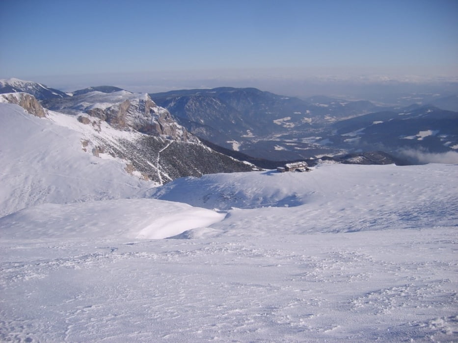
Vom Preiner Gscheid auf 1070 m führt der Weg über die ehemalige Schipiste hinauf bis in die Nähe des Waxriegelhauses (280m), dort entlang des Wanderweges in Serpentinen hinauf bis zum Karl-Ludwig Haus auf 1805m ( 1:30 ). Nach kurzer Rast über den flachen Rücken hinauf bis zur Heukuppe auf 2007m. Herrlicher Rundblick mit Hochschwab, Veitschalpe usw....
Da es sehr wenig Schnee gab, mußte man über den Anstiegsweg zurück zum Ausgangspunkt. Einzig bei der Abfahrt vom Gipfel konnte man entlang einer Rinne ohne Steinberührung bis zum Karl-Ludwig-Haus abfahren.
Galerie tras
Trasa mapa a výškový profil
Komentáře

Autobahnabfahrt S6 bei Mürzzuschlag Richtung Neuberg, Mariazell. Bis nach Kapellen und dort rechts zum Preiner Gscheid auf 1070m (gr. Parkplatz)
Trasy GPS
Trackpoints-
GPX / Garmin Map Source (gpx) download
-
TCX / Garmin Training Center® (tcx) download
-
CRS / Garmin Training Center® (crs) download
-
Google Earth (kml) download
-
G7ToWin (g7t) download
-
TTQV (trk) download
-
Overlay (ovl) download
-
Fugawi (txt) download
-
Kompass (DAV) Track (tk) download
-
Formulář trasy (pdf) download
-
Původní soubor autora (gpx) download


