Přihlášení

Zapomenutý login?

Soubory cookie musí být akceptovány!
Funkce cookies ve vašem prohlížeči je deaktivována. Aktivujte prosím tuto funkci.

Ještě nejste členem?

Zaregistrujte se nyní
Přihlášení

Možné pouze pro přihlášené uživatele

Přihlaste se, abyste mohli tuto funkci používat.

Zapomenutý login?

Soubory cookie musí být akceptovány!
Funkce cookies ve vašem prohlížeči je deaktivována. Aktivujte prosím tuto funkci.

Ještě nejste členem?

Zaregistrujte se nyní
Filtr
Kategorie
Pokročilé filtry
  • Délka (km)
  • Výškoměr
Uložit filtr Obnovit filtr

TrackRank

QRCode

Technické údaje

Délka34,2 km Výškoměr217 m Sestup215 m Doba02:00 h:m Datum30.01.2010
Hodnocení Autor Krajina Faktor zábavy Náročnost Technika

Statistika

356 Přehledy Hodnocení 26 Downloady Průměr
Hodnotit
  • Formulář trasy
  • Příjezd
  • Downloady

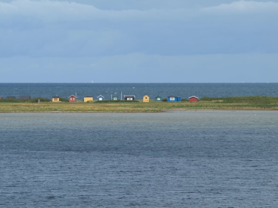
The tour starts at the ferry terminal of Ærøskøbing and follows along small country roads and through little villages over the eastern part of the island to Marstal. In Bregninge you may wish to visit the church with paintings from around 1510 or take a break in the nice café Den Grønne Gren where a smell of newly baked bread and coffee is always in the air. On the way, Voderup Klint is worth visiting. The moraine cliff is one of the most spectacular natural places on Ærø and offers a unique panorama. Sometimes step-shaped terraces of pasture gently slip down on layers of greasy grey clay in the underground. These landslides are so smoothly that - it is said - even the cows did not stop grazing during such an incident while sliding down 14 meters together with the land.

(a tour by dinau)

Další informace v části

http://www.aeroeisland.com/

Galerie tras

Trasa mapa a výškový profil

  • Open Street Map
  • Google
Minimální výška -4 m Maximální výška 55 m Detailní náhled

Více o autorovi turné

dinau
Členem od 2009

Odeslat soukromou zprávu

Komentáře

Trasy GPS

Trackpoints
  • GPX / Garmin Map Source (gpx) download
  • TCX / Garmin Training Center® (tcx) download
  • CRS / Garmin Training Center® (crs) download
  • Google Earth (kml) download
  • G7ToWin (g7t) download
  • TTQV (trk) download
  • Overlay (ovl) download
  • Fugawi (txt) download
  • Kompass (DAV) Track (tk) download
  • Formulář trasy (pdf) download
  • Původní soubor autora (gpx) download

Více o autorovi turné

dinau
Členem od 2009

Odeslat soukromou zprávu
Share track
Přidat do oblíbených
Odebrat z oblíbených položek
Upravit značky
Moje hodnocení
Hodnotit
Trasa: Island of Ærø
Druh: Cykloturistika
Délka: 34,2 km
Hodnoceno na:
Doba:
Den(y)
Hodina(y)
Minuta(y)
Hodnocení: Krajina Faktor zábavy Náročnost Technika