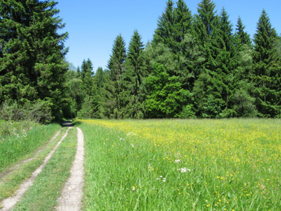
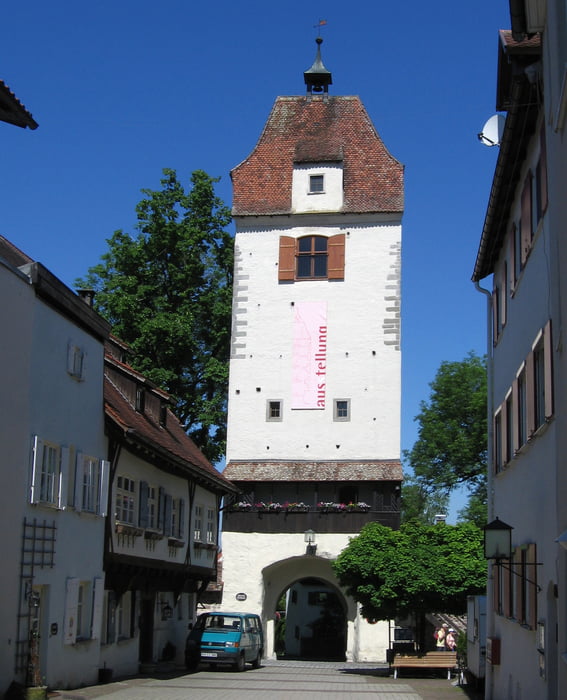
Schöne einfache, abwechslungsreiche Tour durchs hügelige Allgäu. Zwischendurch hat man tolle Ausblicke in die Berge mit guten Einkehrmöglichkeiten
Wegbeschaffenheit: ca 60% auf geteerte verkehrsarme Nebenstraßen. ca 40% Kies und Waldwege, Wiesen und Pfade. In Isny, in der Fußgängerzone sind Pflastersteine. (Strecke leicht geändert am 12.7. 13)
Einkehrmöglichkeiten: In Eisenharz "Gasthaus Krone", bei Neutrauchburg im "Haldenhof" und im "Terrassenhotel", in Isny, "Ochs am Berg"
Streckenverlauf: Vom Parkplatz zum Kohlplatz - Gießen - Willatz - Eisenharz - Unterried - Dengelthofen - Isny.
Zurück übers Harprechtser Moos - Boden - Eisenharz - Linzgis - Hofs - Aschen - Strass - Zellers - Epplings - Durrenberg - an der Argen entlang zum Parkplatz.
Další informace v části
http://www.go-allgaeu.comGalerie tras
Trasa mapa a výškový profil
Komentáře
In Wangen nähe Argencenter, Parkplatz P14 Scherrichmühlweg (gebührenfrei)
Parkplatz - Koordinaten für dein Navigationsgerät
N 47° 41. 242´
E 9° 50. 338´
Trasy GPS
Trackpoints-
GPX / Garmin Map Source (gpx) download
-
TCX / Garmin Training Center® (tcx) download
-
CRS / Garmin Training Center® (crs) download
-
Google Earth (kml) download
-
G7ToWin (g7t) download
-
TTQV (trk) download
-
Overlay (ovl) download
-
Fugawi (txt) download
-
Kompass (DAV) Track (tk) download
-
Formulář trasy (pdf) download
-
Původní soubor autora (gpx) download


Rundtour Wangen-Isny