


++++++++ Vogesentrack +++++++++
++++++++ Track through northern Vosges +++++++++
- round trip Saverne -
Startpunkt/start: Saverne
Kurzbeschreibung/description:
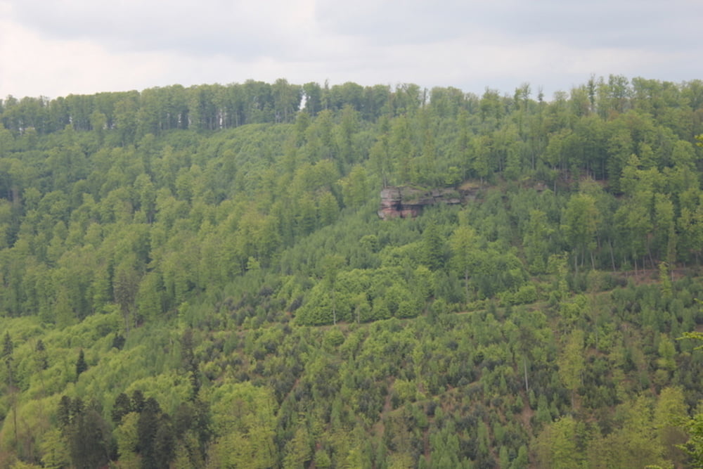
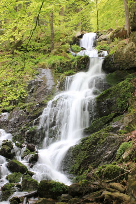
D: Der Track ist vergleichsweise einfach - keine schwierigen Steigungen, kein Klettern, schöne und safte Natur mit einigen Singletrails. Leider überwiegen aber Forstwirtschaftswege in wunderschönen Eichen- und Buchenwäldern.
E: You will find a quite easy track without steep climbs nor climbing. The surrounding is beautiful and offers some single trails. Most of the tracks we did were wide forest roads, though. The woods consist of deciduous trees like oaks and beeches.
D: Für Mitteleuropa vergleichsweise abgelegen, wird aber nicht zu meinen Favoriten gehören da man jeden Tag ein Dorf durchquert.
E: The area is considerably isolated for mid Europe.
Übernachtung/accomodation:
D: Wahrscheinlich ist eine Übernachtung in Hotels möglich - wir haben es vorgezogen im Zelt zu übernachten. Wasser ist ausreichend vorhanden - Gelegenheiten zum Einkaufen, für einen Schwatz mit den geselligen Ureinwohnern und für den berühmten elsässischen Flammkuchen (sehr zu empfehlen), auch.
E: We prefered to use our tent during the trip but it should be possible to find a hotel or hostel every night since you will pass villages each night. Do not forget to try the famous "alsation trarte flambee" while you are in the region!
Galerie tras


Trasa mapa a výškový profil
Minimální výška 172 m
Maximální výška 426 m
Více o autorovi turné

|
1980rockt |
Komentáře

Anfahrt/approach:
D: Auto über Strassburg, wahrscheinlich auch mit Bus und Bahn möglich
E: By car or train to Strassbourg and then to Saverne.
Trasy GPS
Trackpoints-
GPX / Garmin Map Source (gpx) download
-
TCX / Garmin Training Center® (tcx) download
-
CRS / Garmin Training Center® (crs) download
-
Google Earth (kml) download
-
G7ToWin (g7t) download
-
TTQV (trk) download
-
Overlay (ovl) download
-
Fugawi (txt) download
-
Kompass (DAV) Track (tk) download
-
Formulář trasy (pdf) download
-
Původní soubor autora (gpx) download
Více o autorovi turné
|
|
1980rockt |
Přidat do oblíbených
Odebrat z oblíbených položek
Upravit značky
Open track
Moje hodnocení
Hodnotit