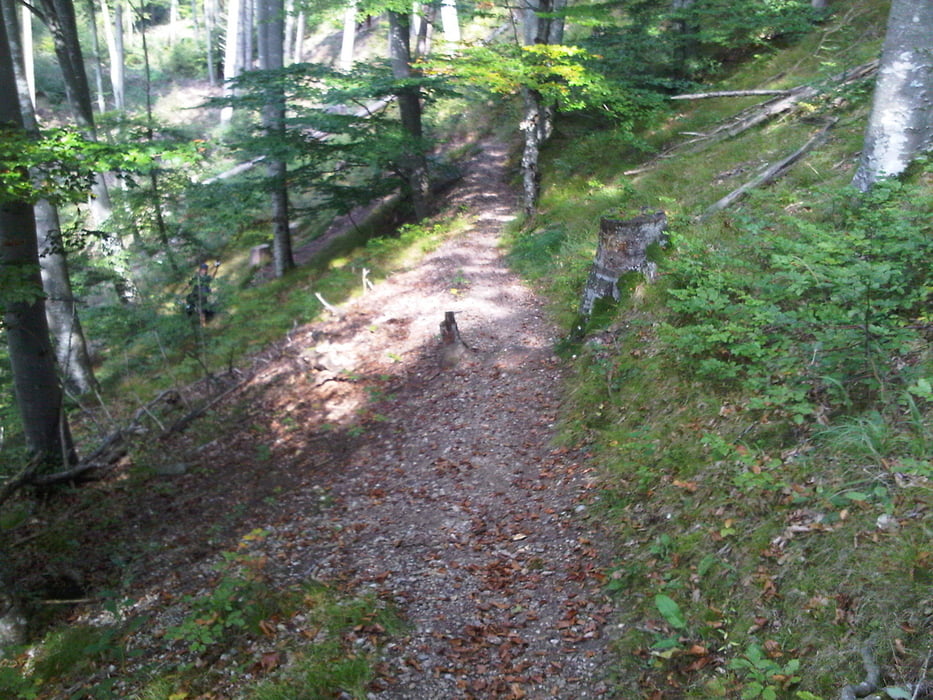
Leichte Feierabendrunde entlang des Lechhöhenweges. Sie beginnt in Unterdießen und führt über einen Feldweg Richtung Römerkessel über die Lechbrücke bei Lechmühlen nach Mundraching zum Lechhöhenweg. Entlang des Lechhöhenweges hat man immer wieder die Möglichkeit verschiedene Trail-Varianten zu fahren. Diese Route ist aber entlang des Hauptweges. Diese führt an der Teufelsküche - einem Ausflugslokal - am östlichen Lechufer vorbei und führt durch den Wildpark. Der restliche Teil der Strecke führt durch die Stadt Landsberg auf dem Radweg nach Erpfting, Ellighofen und wieder nach Unterdießen.
Trasa mapa a výškový profil
Komentáře

Trasy GPS
Trackpoints-
GPX / Garmin Map Source (gpx) download
-
TCX / Garmin Training Center® (tcx) download
-
CRS / Garmin Training Center® (crs) download
-
Google Earth (kml) download
-
G7ToWin (g7t) download
-
TTQV (trk) download
-
Overlay (ovl) download
-
Fugawi (txt) download
-
Kompass (DAV) Track (tk) download
-
Formulář trasy (pdf) download
-
Původní soubor autora (tcx) download


