Přihlášení

Zapomenutý login?

Soubory cookie musí být akceptovány!
Funkce cookies ve vašem prohlížeči je deaktivována. Aktivujte prosím tuto funkci.

Ještě nejste členem?

Zaregistrujte se nyní
Přihlášení

Možné pouze pro přihlášené uživatele

Přihlaste se, abyste mohli tuto funkci používat.

Zapomenutý login?

Soubory cookie musí být akceptovány!
Funkce cookies ve vašem prohlížeči je deaktivována. Aktivujte prosím tuto funkci.

Ještě nejste členem?

Zaregistrujte se nyní
Filtr
Kategorie
Pokročilé filtry
  • Délka (km)
  • Výškoměr
Uložit filtr Obnovit filtr

TrackRank

QRCode

Technické údaje

Délka33,7 km Výškoměr558 m Sestup549 m Doba00:00 h:m Datum20.09.2010
Hodnocení Autor Krajina Faktor zábavy Náročnost Technika

Statistika

301 Přehledy Hodnocení 20 Downloady Průměr
Hodnotit
  • Formulář trasy
  • Příjezd
  • Downloady

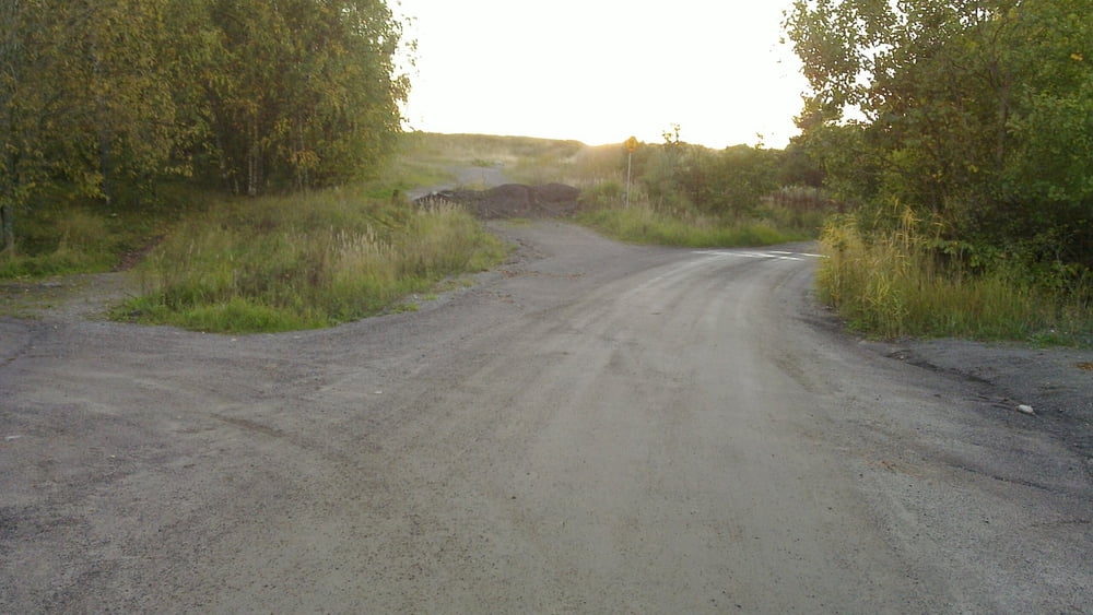
Well I was searching for the hills and biking trails. I had been there about ten years ago but I found it still. There is lots of possibilities in the Luolavuori area and there are good trails for MTB, Enduro, XC and general bike trips. In Kupittaa area there is a biking track that has some proper boxes etc.

Galerie tras

Trasa mapa a výškový profil

  • Open Street Map
  • Google
Minimální výška -47 m Maximální výška 48 m Detailní náhled

Více o autorovi turné

miqu
Členem od 2010

Odeslat soukromou zprávu

Komentáře

Well get to Turku Kaupungin Sairaala (Turku City hospital) and take Luolavuorentie from there until you see a sand road going up the hill to the right. From the top of the hill there is at least ten trails down. Some with jumps and some with hard terrain some with just a path in the field.


There is some good trails in MTB turku site:

http://www.mtbturku.net/kisat.php?subsection=XC10

Scroll down and see gps or google links. Sorry its in Finnish.

Trasy GPS

Trackpoints
  • GPX / Garmin Map Source (gpx) download
  • TCX / Garmin Training Center® (tcx) download
  • CRS / Garmin Training Center® (crs) download
  • Google Earth (kml) download
  • G7ToWin (g7t) download
  • TTQV (trk) download
  • Overlay (ovl) download
  • Fugawi (txt) download
  • Kompass (DAV) Track (tk) download
  • Formulář trasy (pdf) download
  • Původní soubor autora (gpx) download

Více o autorovi turné

miqu
Členem od 2010

Odeslat soukromou zprávu
Share track
Přidat do oblíbených
Odebrat z oblíbených položek
Upravit značky
Moje hodnocení
Hodnotit
Trasa: Mixed biking in Turku
Druh: Horské kolo
Délka: 33,7 km
Hodnoceno na:
Doba:
Den(y)
Hodina(y)
Minuta(y)
Hodnocení: Krajina Faktor zábavy Náročnost Technika