Přihlášení

Zapomenutý login?

Soubory cookie musí být akceptovány!
Funkce cookies ve vašem prohlížeči je deaktivována. Aktivujte prosím tuto funkci.

Ještě nejste členem?

Zaregistrujte se nyní
Přihlášení

Možné pouze pro přihlášené uživatele

Přihlaste se, abyste mohli tuto funkci používat.

Zapomenutý login?

Soubory cookie musí být akceptovány!
Funkce cookies ve vašem prohlížeči je deaktivována. Aktivujte prosím tuto funkci.

Ještě nejste členem?

Zaregistrujte se nyní
Filtr
Kategorie
Pokročilé filtry
  • Délka (km)
  • Výškoměr
Uložit filtr Obnovit filtr

TrackRank

QRCode

Technické údaje

Délka10,5 km Výškoměr76 m Sestup234 m Doba00:00 h:m Datum19.12.2010
Hodnocení Autor Krajina Faktor zábavy Náročnost Technika

Statistika

946 Přehledy Hodnocení 104 Downloady Průměr
Hodnotit
  • Formulář trasy
  • Příjezd
  • Downloady

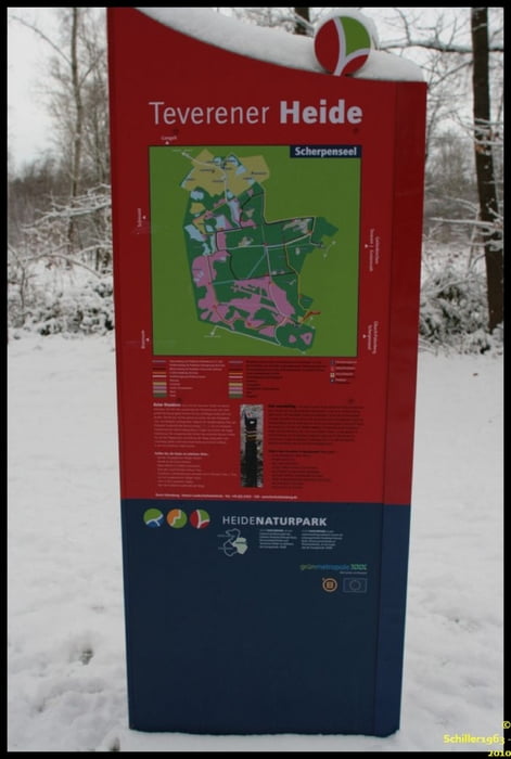
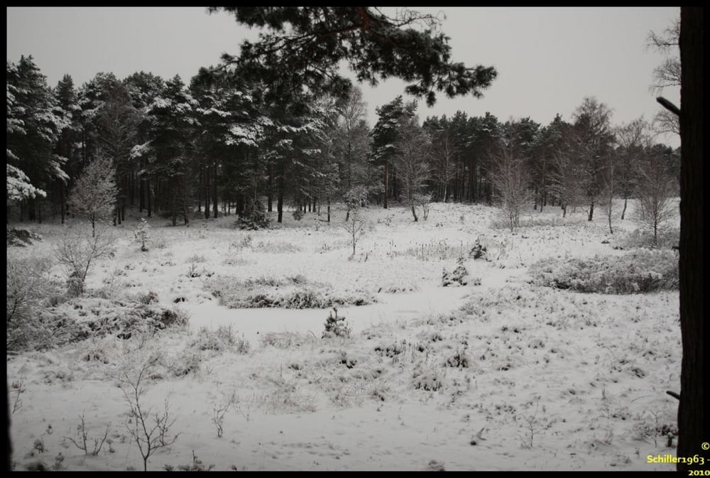
Schneechaos auf den Flughäfen. Das hat uns an diesem Wochenende doch gar nicht interessiert. Die Teverener Heide, direkt an der Nato Air Base Geilenkirchen gelegen, ist ein herrliches Naturschutzgebiet.

Wir haben hier eine spontane Umrundung des uns bisher noch nicht gekannten Gebietes gemacht. Im Sommer sind die jetzt zugefrorenen Flächen Seen und wir werden diese bestimmt zu einer anderen Jahreszeit nochmal besuchen kommen. Viele gute ausgebaute Wege und auch kleiner Wanderpfade mit tollen Ausblicken lohnen einen Ausflug hierhin.

Leider konnten wir aufgrund des Wetters auf dem zweiten Abschnitt der Tour keine Fotos mehr machen, sodass sich diese Fotos auf die erste Hälfte beziehen.

Galerie tras

Trasa mapa a výškový profil

  • Open Street Map
  • Google
Minimální výška 78 m Maximální výška 274 m Detailní náhled

Více o autorovi turné

Schiller1963
Členem od 2008

Odeslat soukromou zprávu

Komentáře

Es gibt drei Parkplätze, diese sind als Wegpunkte in der Datei eingetragen.

Trasy GPS

Trackpoints
  • GPX / Garmin Map Source (gpx) download
  • TCX / Garmin Training Center® (tcx) download
  • CRS / Garmin Training Center® (crs) download
  • Google Earth (kml) download
  • G7ToWin (g7t) download
  • TTQV (trk) download
  • Overlay (ovl) download
  • Fugawi (txt) download
  • Kompass (DAV) Track (tk) download
  • Formulář trasy (pdf) download
  • Původní soubor autora (gpx) download

Více o autorovi turné

Schiller1963
Členem od 2008

Odeslat soukromou zprávu
Share track
Přidat do oblíbených
Odebrat z oblíbených položek
Upravit značky
Moje hodnocení
Hodnotit
Trasa: Selfkant: Schneetour durch die Teverener Heide
Druh: Turistika 
Délka: 10,5 km
Hodnoceno na:
Doba:
Den(y)
Hodina(y)
Minuta(y)
Hodnocení: Krajina Faktor zábavy Náročnost Technika