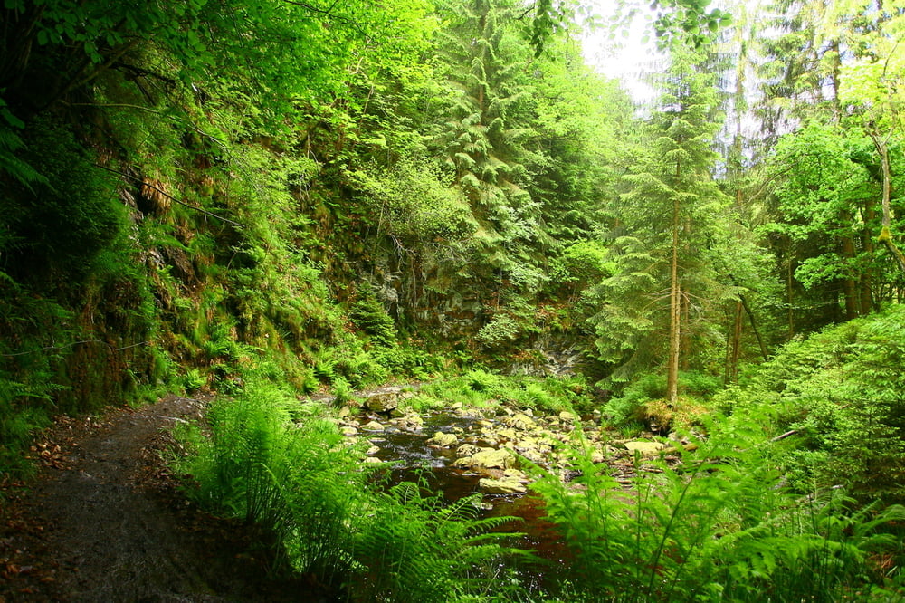
Really nice rides in the Belgian Ardennes.
The first and last part are quite easy, the middle part is completely through the forest and has some steep and technical climbs and descents, with slippery roots and rocks.
After periods of rain some parts of the track can get quite muddy.
Další informace v části
http://www.les-cimes-de-waimes.be/de.htmTrasa mapa a výškový profil
Minimální výška 374 m
Maximální výška 681 m
Komentáře

Trasy GPS
Trackpoints-
GPX / Garmin Map Source (gpx) download
-
TCX / Garmin Training Center® (tcx) download
-
CRS / Garmin Training Center® (crs) download
-
Google Earth (kml) download
-
G7ToWin (g7t) download
-
TTQV (trk) download
-
Overlay (ovl) download
-
Fugawi (txt) download
-
Kompass (DAV) Track (tk) download
-
Formulář trasy (pdf) download
-
Původní soubor autora (tcx) download
Přidat do oblíbených
Odebrat z oblíbených položek
Upravit značky
Open track
Moje hodnocení
Hodnotit


