Diese Tour ist auch für Rennräder geeignet, da überall die Straße asphaltiert ist.
Vor Trouillas die D22 Richtung Fourques nehmen und vor Fourques in der D615 Links abbiegen.
Dann bis LLauro steigen. Nach dem Ortseingang, die D13 links Richtung Vivès abbiegen (sie werden auf die D13 bis Las Illas fahren). In Saint Jean Plade Corts. Dort gibt es ein Kreisverkehr, zweite Ausfahrt auf die D13 Richtung Maureillas fahren. Dann fährt die D13 über der "Tech" , weiter nach Maureillas Fahren, dann weiter auf die D13 Richtung Las Illas weiterfahren.
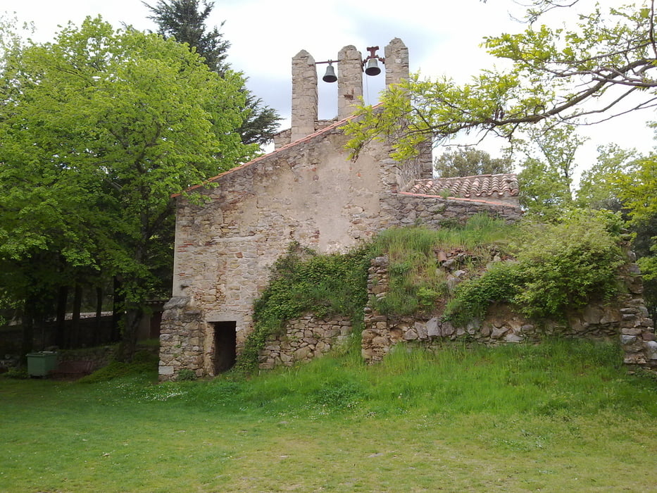
Ab dort fängt der schön Aufstieg nach Las Illas an, durch die Korkeichen. Wenn Las Illas erreicht wurde, rechts auf die D13F richtung Fontrede/Céret abbiegen. Nach 1,5km, findet man auf die rechte Seite die kleine romanische Kapelle „Notre Dame du Remède“. Die Straße steigt bis auf eine Höhe von 860m, auf der „col de la Brousse“.
Dann fägt der Abstieg bis Céret an. In Céret, kurz auf die D115 Richtung „Le Boulou“ fahren (auf die rechte Seite ist der „Pont du Diable“ zu sehen) , dann links auf die D615 Richtung LLauro/Oms abbiegen. Die D615 steigt bis auf der „col de Lauro“. Unterwegs ist der „Ermitage de Saint Ferriol“ auf die rechte Seite zu sehen.
In Lauro, weiter nach Trouillas runterfahren.
Trasa mapa a výškový profil
Komentáře

Trasy GPS
Trackpoints-
GPX / Garmin Map Source (gpx) download
-
TCX / Garmin Training Center® (tcx) download
-
CRS / Garmin Training Center® (crs) download
-
Google Earth (kml) download
-
G7ToWin (g7t) download
-
TTQV (trk) download
-
Overlay (ovl) download
-
Fugawi (txt) download
-
Kompass (DAV) Track (tk) download
-
Formulář trasy (pdf) download
-
Původní soubor autora (gpx) download

