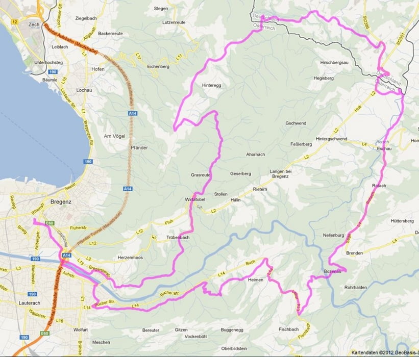
abwechslungsreiche Tour am Pfänder und durch den Vorderwald, größtenteils auf Waldwegen und Trails, Asphalt nur dort wo es keine Alternative im Gelände gibt
Tour map and elevation profile
Minimum height 386 m
Maximum height 1020 m
Comments
Start und Ziel: Bregenz
GPS tracks
Trackpoints-
GPX / Garmin Map Source (gpx) download
-
TCX / Garmin Training Center® (tcx) download
-
CRS / Garmin Training Center® (crs) download
-
Google Earth (kml) download
-
G7ToWin (g7t) download
-
TTQV (trk) download
-
Overlay (ovl) download
-
Fugawi (txt) download
-
Kompass (DAV) Track (tk) download
-
Track data sheet (pdf) download
-
Original file of the author (gpx) download
Add to my favorites
Remove from my favorites
Edit tags
Open track
My score
Rate


Gefahren am 22.08.2014
Fazit: Die Tour passt leider nicht zur Streckenbeschreibung: "Asphalt nur wo es keine Alternativen im Gelände gibt" stimmt hier leider nicht.