Login

Forgotten password?

Cookies have to be accepted!
Your browser's cookie functionality is disabled. Please enable this functionality.

Not a member yet?

Register now
Login

Available for registred users only

Log in to use this feature.

Forgotten password?

Cookies have to be accepted!
Your browser's cookie functionality is disabled. Please enable this functionality.

Not a member yet?

Register now
Filter
Categories
Advanced filters
  • Distance (km)
  • Height
Save filters Reset filter

TrackRank

QRCode

Technical data

Distance29,8 km Height904 m Way down931 m Duration03:00 h:m Date28.05.2012
Scores Author User Landscape Fun factor Fitness Technique

Statistics

1198 Views 3 Scores 246 Downloads 4.67 Average
Rate
  • Track data sheet
  • Directions
  • Downloads
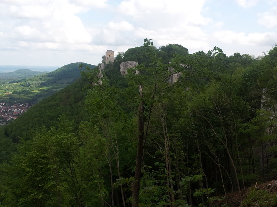
Diese Tour führt vom Parkplatz Bahnhöfle am Reußenstein nach Lenningen. Dabei geht es über einen flowigen Singletrail die Alb hinab. Von Lenningen aus geht es über den Sattelbogen zum Engelhof und danach zum Breitenstein. Wieder über einen Singletrail runter nach Hepsisau und in Neidlingen die Alb hoch zum Ausgangspunkt.

Tour map and elevation profile

  • Open Street Map
  • Google
Minimum height 451 m Maximum height 816 m Detailed view

More about the tour author

Tom1984
Member since 2012

Send private message

Comments

Albrarutscher on 22.06.2014

Empfehlenswerte Runde

Ein fast gerader und flowiger aber dennoch niemals langweiliger Trail mit knackigem Einstieg in einem verträumten Tal und ein anspruchsvoller Trail gespickt mit Haarnadelkurven sind die fahrtechnischen Höhepunkte der Route. Die Landschaft ist sehr abwechslungsreich: Hochwiesen die ans Allgäu erinnern inklusive Kühe, grandiose Aussicht am Breitenstein, tief eingeschnittene Täler und Obstwiesen.
Von der A8 kommend Richtung Weilheim, weiter Richtung Schopfloch, dann Richtung Reußenstein. Entfernung vom Parkplatz Bahnhöfle zum Reußenstein ungefähr 1000m

GPS tracks

Trackpoints
  • GPX / Garmin Map Source (gpx) download
  • TCX / Garmin Training Center® (tcx) download
  • CRS / Garmin Training Center® (crs) download
  • Google Earth (kml) download
  • G7ToWin (g7t) download
  • TTQV (trk) download
  • Overlay (ovl) download
  • Fugawi (txt) download
  • Kompass (DAV) Track (tk) download
  • Track data sheet (pdf) download
  • Original file of the author (gpx) download

More about the tour author

Tom1984
Member since 2012

Send private message
Share track
Add to my favorites
Remove from my favorites
Edit tags
My score
Rate
Track: Up and Down - Singletrails
Type: Mountain bike
Distance: 29,8 km
Evaluated on:
Duration:
Day(s)
Hour(s)
Minute(s)
Score: Landscape Fun factor Fitness Technique