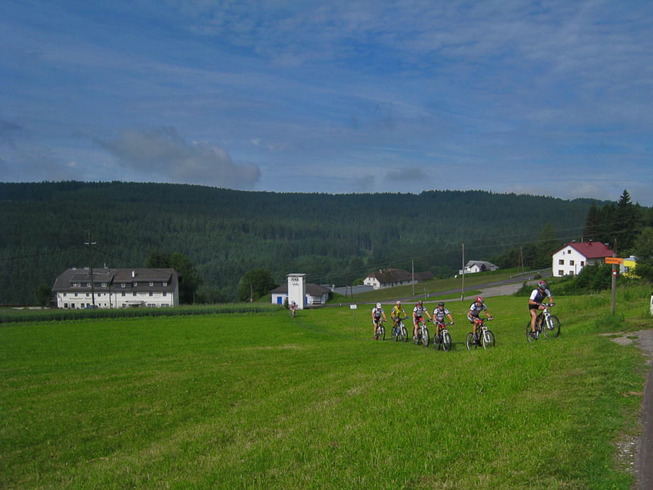
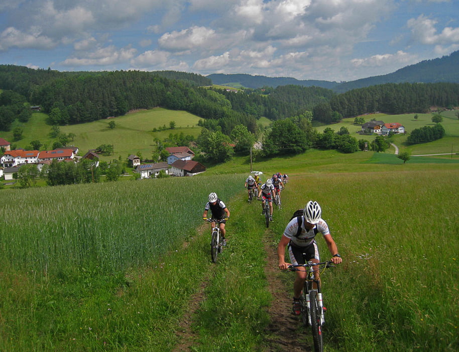
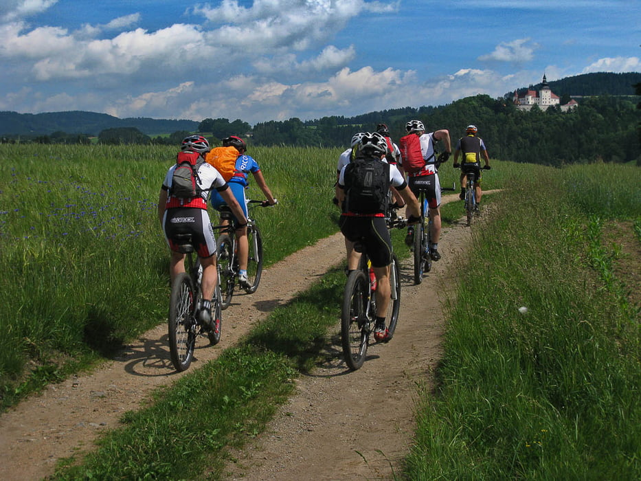
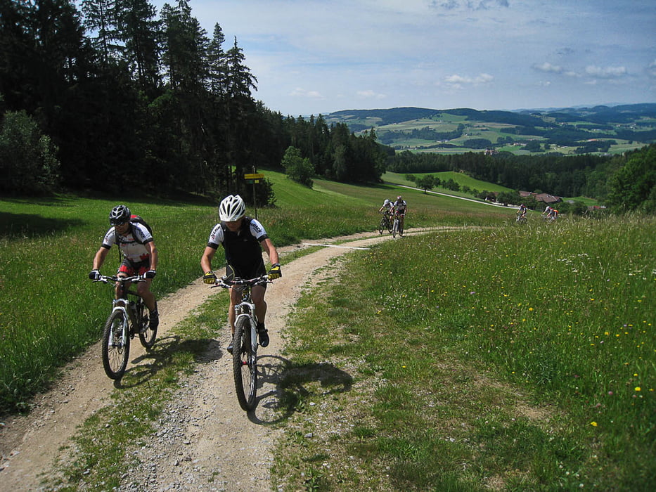
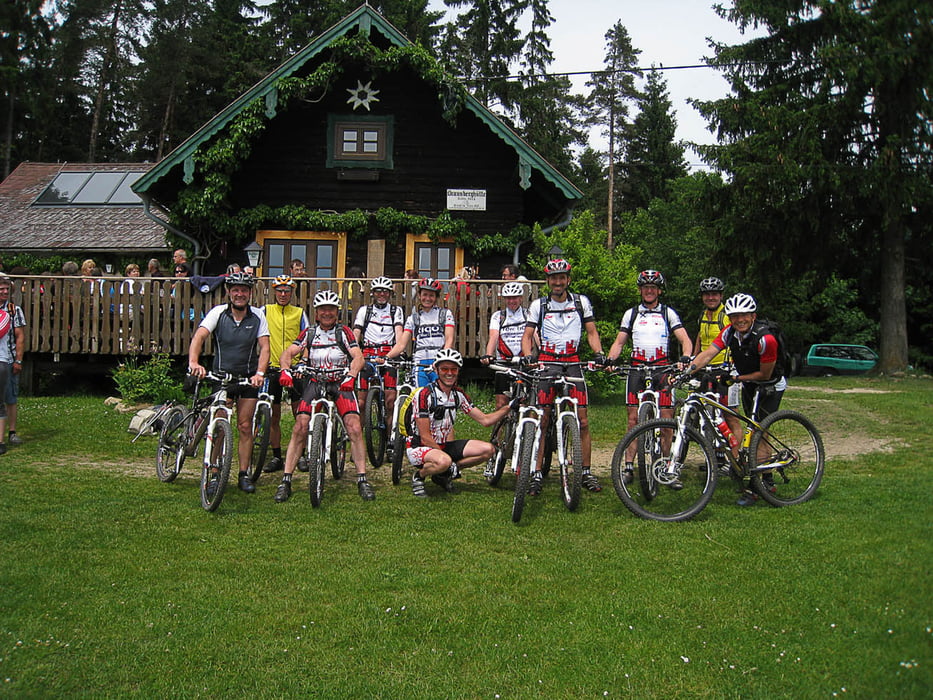
Eine wunderschöne Tour durchs hügelige Mühlviertel. Einige Anstiege in der ersten Hälfte sind ganz schön steil, es warten aber auch tolle Trails auf den Biker. Für eine Rast ist die Braunberghütte zu empfehlen.
Tour gallery
Tour map and elevation profile
Minimum height 475 m
Maximum height 927 m
Comments

GPS tracks
Trackpoints-
GPX / Garmin Map Source (gpx) download
-
TCX / Garmin Training Center® (tcx) download
-
CRS / Garmin Training Center® (crs) download
-
Google Earth (kml) download
-
G7ToWin (g7t) download
-
TTQV (trk) download
-
Overlay (ovl) download
-
Fugawi (txt) download
-
Kompass (DAV) Track (tk) download
-
Track data sheet (pdf) download
-
Original file of the author (gpx) download
Add to my favorites
Remove from my favorites
Edit tags
Open track
My score
Rate

