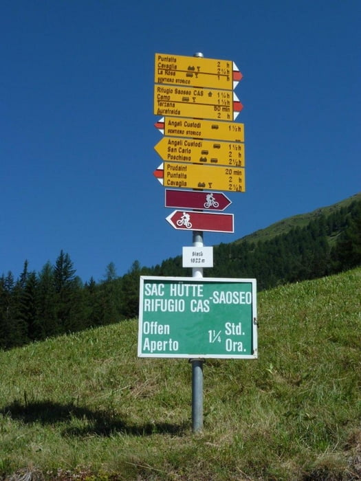
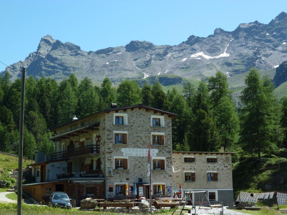
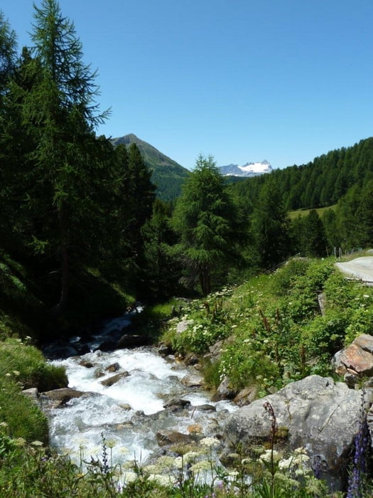
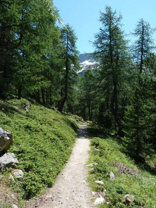
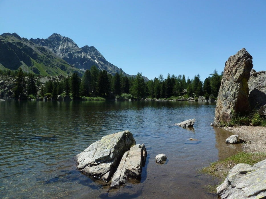
Startpunkt ist Bernina Hospiz auf 2307m. Zuerst fährt man auf der Passstrasse hinunter nach Sfazü auf 1622m. Von dort aus steigt die Tour bis zum Lagh da Val Viola auf 2159m. Bis Camp ist es eine breite Naturstrasse, auf der auch noch ein kleines Postauto verkehrt. Ab Camp bis zum Viola See ist es ein fahrbarer Singeltrail mit ein paar steilen Rampen. Verpflegen kann man sich in der SAC Hütte Rif. Saoseo oder in Camp. Bei der Rückfahrt vom See (ca. nach 3 Km wechselt man die Talseite und fährt hoch über der Passtrasse nach Poschiavo hinunter. Von Poschiavo haben wir die Bikes mit dem Zug nach Bernina Hospiz verladen. Diese Tour bietet landschaft viel Abwechslung und einige schöne Aussichten und ist auch für weniger geübte Biker gut fahrbar.
Tour gallery
Tour map and elevation profile
Minimum height 1047 m
Maximum height 2331 m
Comments
Mit Auto bis Passhöhe Bernina, oder mit Räthischer Bahn bis Bernia Hospiz
GPS tracks
Trackpoints-
GPX / Garmin Map Source (gpx) download
-
TCX / Garmin Training Center® (tcx) download
-
CRS / Garmin Training Center® (crs) download
-
Google Earth (kml) download
-
G7ToWin (g7t) download
-
TTQV (trk) download
-
Overlay (ovl) download
-
Fugawi (txt) download
-
Kompass (DAV) Track (tk) download
-
Track data sheet (pdf) download
-
Original file of the author (gpx) download
Add to my favorites
Remove from my favorites
Edit tags
Open track
My score
Rate


Puschlav