Login

Forgotten password?

Cookies have to be accepted!
Your browser's cookie functionality is disabled. Please enable this functionality.

Not a member yet?

Register now
Login

Available for registred users only

Log in to use this feature.

Forgotten password?

Cookies have to be accepted!
Your browser's cookie functionality is disabled. Please enable this functionality.

Not a member yet?

Register now
Filter
Categories
Advanced filters
  • Distance (km)
  • Height
Save filters Reset filter

TrackRank

QRCode

Technical data

Distance73,2 km Height1260 m Way down1752 m Duration02:45 h:m Date16.08.2012
Scores Author Landscape Fun factor Fitness Technique

Statistics

494 Views Scores 77 Downloads Average
Rate
  • Track data sheet
  • Directions
  • Downloads

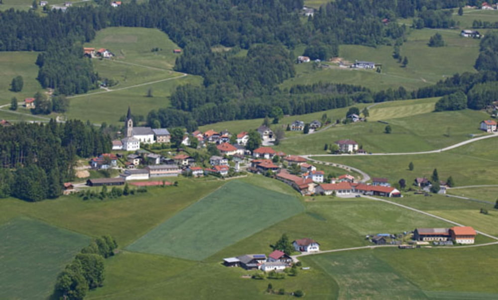
Die Rennstrecke des ersten Mühlviertel 8000 vom 15.08.2012

Start der Strecke ist genau bei der Übergabe des Berläufers an den MTBker!!

Man kann in die Stercke kurz nach der Übergabe beim Parkplatz Oberschwarzenberg einsteigen wenn man nicht zur Wechselzone hinaufahren möchte!!


Viel Spass beim Nachfahren!!

Tour map and elevation profile

  • Open Street Map
  • Google
Minimum height 730 m Maximum height 1246 m Detailed view

More about the tour author

rocco4
Member since 2012

Send private message

Comments

GPS tracks

Trackpoints
  • GPX / Garmin Map Source (gpx) download
  • TCX / Garmin Training Center® (tcx) download
  • CRS / Garmin Training Center® (crs) download
  • Google Earth (kml) download
  • G7ToWin (g7t) download
  • TTQV (trk) download
  • Overlay (ovl) download
  • Fugawi (txt) download
  • Kompass (DAV) Track (tk) download
  • Track data sheet (pdf) download
  • Original file of the author (gpx) download

More about the tour author

rocco4
Member since 2012

Send private message
Share track
Add to my favorites
Remove from my favorites
Edit tags
My score
Rate
Track: Mühlviertel 8000 15.08.2012
Type: Mountain bike
Distance: 73,2 km
Evaluated on:
Duration:
Day(s)
Hour(s)
Minute(s)
Score: Landscape Fun factor Fitness Technique