Login

Forgotten password?

Cookies have to be accepted!
Your browser's cookie functionality is disabled. Please enable this functionality.

Not a member yet?

Register now
Login

Available for registred users only

Log in to use this feature.

Forgotten password?

Cookies have to be accepted!
Your browser's cookie functionality is disabled. Please enable this functionality.

Not a member yet?

Register now
Filter
Categories
Advanced filters
  • Distance (km)
  • Height
Save filters Reset filter

TrackRank

QRCode

Technical data

Distance10,6 km Height437 m Way down431 m Duration03:18 h:m Date01.01.2013
Scores Author Landscape Fun factor Fitness Technique

Statistics

388 Views Scores 18 Downloads Average
Rate
  • Track data sheet
  • Directions
  • Downloads

Diese Tour gehört zu meinen Lieblingstouren.

Siehe hierzu auch meine Tourbeschreibung unter: /de/touren/detail.105771.html

Der Start erfolgt am Parkplatz Pürzelbach und der Aufstieg folgt der einzigen Straße aufwärts.

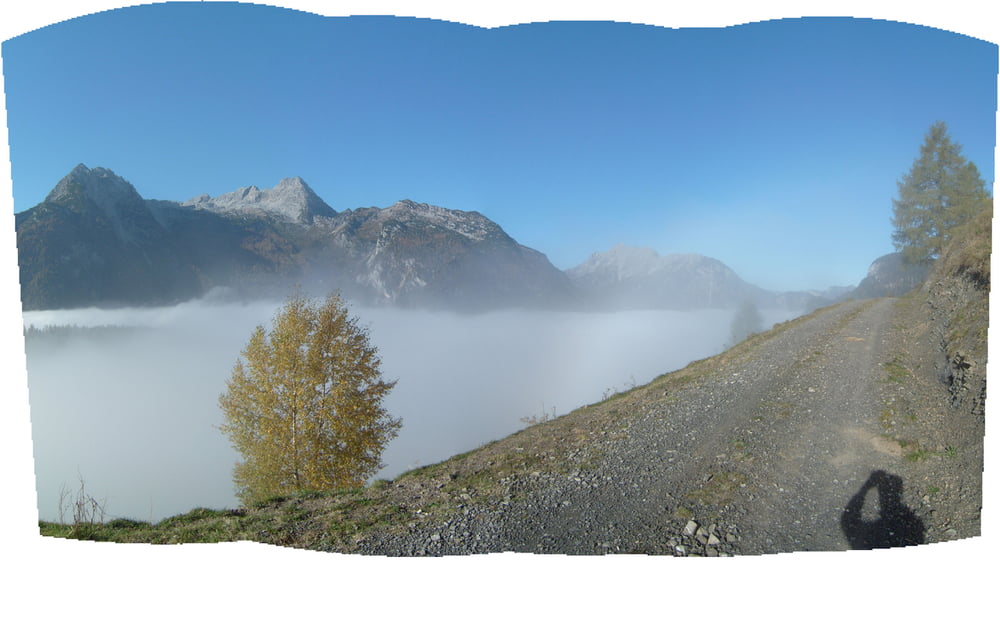
 Am 23.10.2012 herrschte totale Inversionslage, im Tal dicker Nebel und kühle Temperaturen (an der Bundesstraße sah ich sogar ein Rudel Gämsen kurz vor Weißbach grasen), oberhalb Pürzelbach strahlender Sonnenschein mit angenehmer Wärme. Schöner kann eine Herbsttour kaum sein.

Beim Abstieg habe ich noch einen Abstecher an der vorletzten Serpentine nach rechts unternommen. Man kommt zu einem weiteren, abgelegenen Almengebiet mit Hütten und Pferden. Der Ausblick dort auf den Gerhardstein und die Loferer Steinberge ist ebenfalls sehr schön.


Further information at

/en/tracks/detail.105771.html

Tour gallery

Tour map and elevation profile

  • Open Street Map
  • Google
Minimum height 1078 m Maximum height 1465 m Detailed view

More about the tour author

Trunaradler
Member since 2012

Send private message

Comments

GPS tracks

Trackpoints
  • GPX / Garmin Map Source (gpx) download
  • TCX / Garmin Training Center® (tcx) download
  • CRS / Garmin Training Center® (crs) download
  • Google Earth (kml) download
  • G7ToWin (g7t) download
  • TTQV (trk) download
  • Overlay (ovl) download
  • Fugawi (txt) download
  • Kompass (DAV) Track (tk) download
  • Track data sheet (pdf) download
  • Original file of the author (gpx) download

More about the tour author

Trunaradler
Member since 2012

Send private message
Share track
Add to my favorites
Remove from my favorites
Edit tags
My score
Rate
Track: von Pürzelbach auf die Kallbrunnalm II
Type: Mountain hiking
Distance: 10,6 km
Evaluated on:
Duration:
Day(s)
Hour(s)
Minute(s)
Score: Landscape Fun factor Fitness Technique