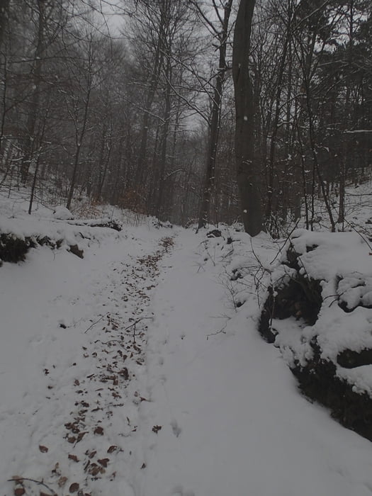
Es ist eine einfach Wanderung, die meist durch bewaldetes Gebiet führt. Wir waren an einem bedeckten Wintertag unterwegs, daher haben wir - langsam gehend - 3 1/2 Stunden benötigt. Die Rast auf der Vöslauer Hütter war nicht notwendig, jedoch sehr willkommen.
Tour gallery
Tour map and elevation profile
Minimum height 274 m
Maximum height 618 m
Comments

In Sooß die Hauptstraße - bei allen Heurigen vorbei - bis ans Ende.
GPS tracks
Trackpoints-
GPX / Garmin Map Source (gpx) download
-
TCX / Garmin Training Center® (tcx) download
-
CRS / Garmin Training Center® (crs) download
-
Google Earth (kml) download
-
G7ToWin (g7t) download
-
TTQV (trk) download
-
Overlay (ovl) download
-
Fugawi (txt) download
-
Kompass (DAV) Track (tk) download
-
Track data sheet (pdf) download
-
Original file of the author (gpx) download
Add to my favorites
Remove from my favorites
Edit tags
Open track
My score
Rate

