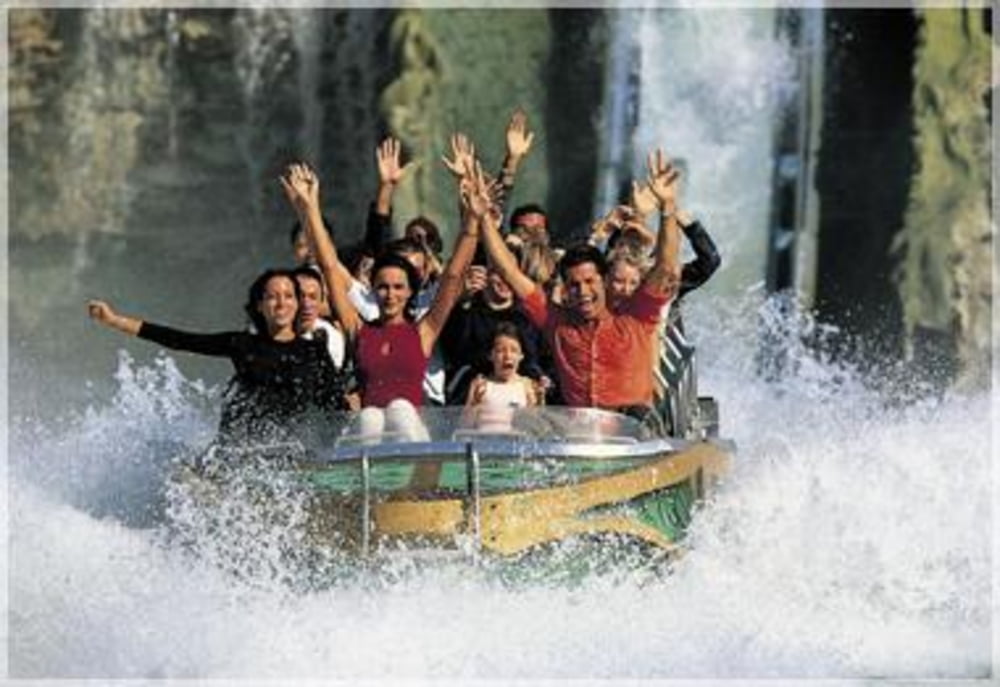
Eine gemütliche Radeltour nach Sirmione.
Startpunkt war das AGRITURISMO "La Zerla" (Landgasthof aus dem 18. Jahrhundert) oberhalb von Bardolino.
Von Landhaus "La Zerla" fährt man zunächst auf der wenig befahrenen Straße nach Albaré. An der Kreuzung rechts führt ein Fahrradweg nach Affi ins Zentrum. Dort weiter nach Cavaion und Lazise. Kurz auf der Uferstraße Richtung Pesciera fahren, dann verlässt man sie Richtung Colà und fährt von dort nach Pacengo (Wer die Tour von hier beginnen möchte: ... gegenüber der Kirche gibt es kostenlose Parkplätze). Hinter dem "Hochsicherheitstrakt" Gardaland liegt ein kleine Badebucht der Commune RONCHI mit einem schattigen Rasenplatz sowie einem kleinen Kiosk.
Weiter fährt man immer an der Uferstraße zum Teil auf Radwegen auf die etwa 5 km lange Landzunge Sirmione mit seiner schönen Wasserburg. Zurück kann man etwa den gleichen Weg nehmen.
Further information at
http://www.sirmionebs.it/italian/audioguide_eng.phpTour gallery
Tour map and elevation profile
Comments

Von Deutschland aus am besten über den Brenner, Abfahrt Affi, Richtung Garda/Bardolino nehmen. Von Albare aus sind es noch ca. 3 km bis zum Landhaus "La Zerla".
GPS tracks
Trackpoints-
GPX / Garmin Map Source (gpx) download
-
TCX / Garmin Training Center® (tcx) download
-
CRS / Garmin Training Center® (crs) download
-
Google Earth (kml) download
-
G7ToWin (g7t) download
-
TTQV (trk) download
-
Overlay (ovl) download
-
Fugawi (txt) download
-
Kompass (DAV) Track (tk) download
-
Track data sheet (pdf) download
-
Original file of the author (gpx) download


