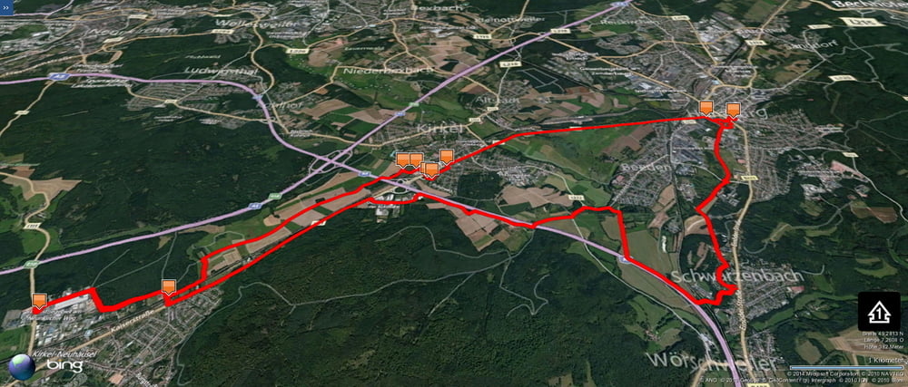
Eine flache Variante zwischen Schwarzenbach und Kirkel mit einem flachen Rückweg über Homburg um meine Vorräte aufzufüllen.
Stets bemüht immer in Teilen eine andere Variante zu fahren.
Further information at
https://de.wikipedia.org/wiki/Limbach_(Kirkel)Tour gallery
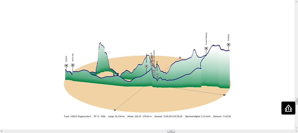
Tour map and elevation profile
Minimum height 222 m
Maximum height 279 m
Comments

In Schwarzenbach geht es los.
GPS tracks
Trackpoints-
GPX / Garmin Map Source (gpx) download
-
TCX / Garmin Training Center® (tcx) download
-
CRS / Garmin Training Center® (crs) download
-
Google Earth (kml) download
-
G7ToWin (g7t) download
-
TTQV (trk) download
-
Overlay (ovl) download
-
Fugawi (txt) download
-
Kompass (DAV) Track (tk) download
-
Track data sheet (pdf) download
-
Original file of the author (gpx) download
Add to my favorites
Remove from my favorites
Edit tags
Open track
My score
Rate


