Tolle Tagestour mit schon bekannten Ersten Teil zu meinem Arbeitsplatz.
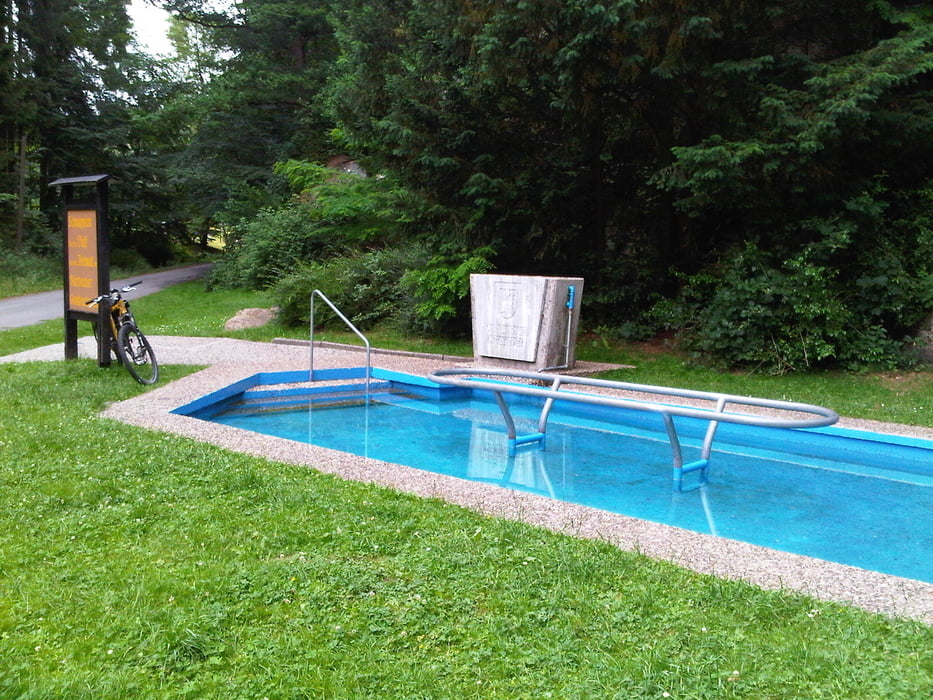
Nach Feierabend hatte ich Lust mich zu bewegen und rollte dreimal den Berg hoch und runter. Ich passierte bei dieser Runde den Kanzelfels mit seinem Fußbad und lernte neue Waldwege um Bierbach kennen.
Kurz, ich hatte Spass.
Further information at
http://www.blesa.de/Tour gallery
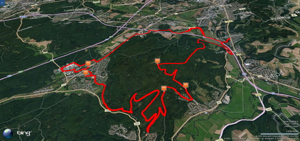
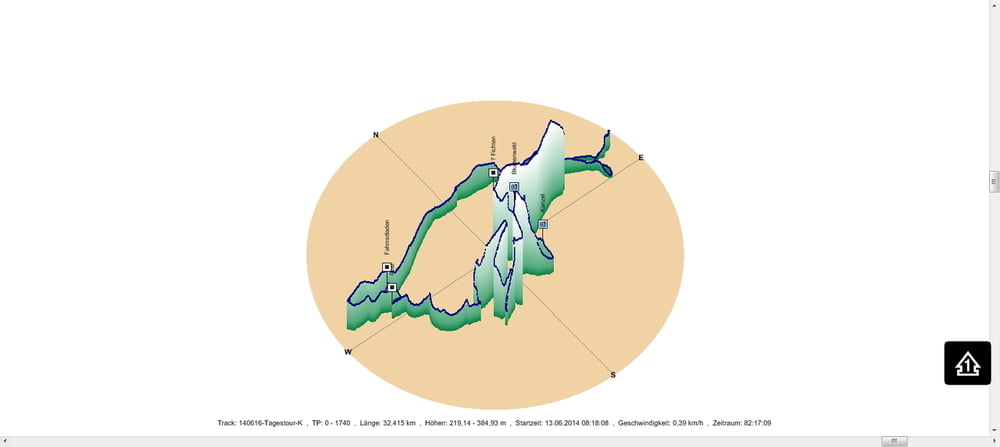
Tour map and elevation profile
Minimum height 219 m
Maximum height 385 m
Comments

In Schwarzenbach geht es los.
GPS tracks
Trackpoints-
GPX / Garmin Map Source (gpx) download
-
TCX / Garmin Training Center® (tcx) download
-
CRS / Garmin Training Center® (crs) download
-
Google Earth (kml) download
-
G7ToWin (g7t) download
-
TTQV (trk) download
-
Overlay (ovl) download
-
Fugawi (txt) download
-
Kompass (DAV) Track (tk) download
-
Track data sheet (pdf) download
-
Original file of the author (gpx) download
Add to my favorites
Remove from my favorites
Edit tags
Open track
My score
Rate


