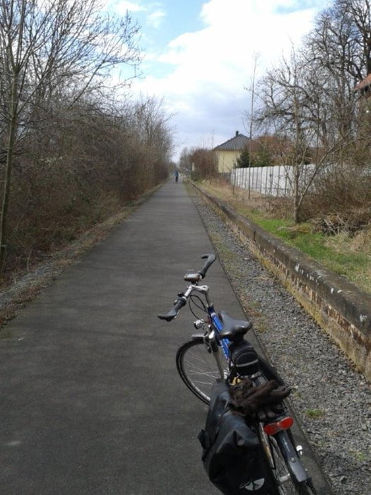
Eine schöne Tour auf asphaltierten Radwegen.
Gelegentlich kurze Stückchen auf wenig befahrenen Straßen.
Die Tour beginnt auf dem neuen Elster-Saale-Radweg, dann auf dem Rippach Radweg weiter bis zum Saale Radweg und das Ziel ist der idyllische Blütengrund bei Naumburg.
Gelegentlich kurze Stückchen auf wenig befahrenen Straßen.
Die Tour beginnt auf dem neuen Elster-Saale-Radweg, dann auf dem Rippach Radweg weiter bis zum Saale Radweg und das Ziel ist der idyllische Blütengrund bei Naumburg.
Tour gallery
Tour map and elevation profile
Minimum height 97 m
Maximum height 145 m
Comments

GPS tracks
Trackpoints-
GPX / Garmin Map Source (gpx) download
-
TCX / Garmin Training Center® (tcx) download
-
CRS / Garmin Training Center® (crs) download
-
Google Earth (kml) download
-
G7ToWin (g7t) download
-
TTQV (trk) download
-
Overlay (ovl) download
-
Fugawi (txt) download
-
Kompass (DAV) Track (tk) download
-
Track data sheet (pdf) download
-
Original file of the author (gpx) download
Add to my favorites
Remove from my favorites
Edit tags
Open track
My score
Rate


