Login

Forgotten password?

Cookies have to be accepted!
Your browser's cookie functionality is disabled. Please enable this functionality.

Not a member yet?

Register now
Login

Available for registred users only

Log in to use this feature.

Forgotten password?

Cookies have to be accepted!
Your browser's cookie functionality is disabled. Please enable this functionality.

Not a member yet?

Register now
Filter
Categories
Advanced filters
  • Distance (km)
  • Height
Save filters Reset filter

TrackRank

QRCode

Technical data

Distance4,6 km Height158 m Way down163 m Duration01:46 h:m Date06.04.2015
Scores Author Landscape Fun factor Fitness Technique

Statistics

845 Views Scores 18 Downloads Average
Rate
  • Track data sheet
  • Directions
  • Downloads

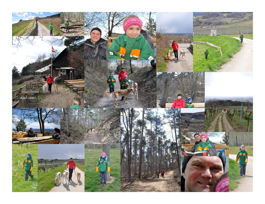
Die Wanderung startet an den Koordinaten N48° 02' 51.8" E16° 16' 39.6" und folgt dann dem Braunweg hinauf Richtung Wald. Der Steinbruch bleibt rechts hinter uns zurück.

nach ca. 185 Meter Anstieg erreichen wir den Plateau Wanderweg der oberhalb der Weingärten entlang führt. Dieser Weg passiert zuerst die Hubertushütte und dann trifft man auf die Veigl-Hütte.

Bei der Veigl-Hütte halten wir kurz Rast und trinken etwas. Für eine längere Pause (der Platz dafür wäre ideal) nehmen wir uns keine Zeit da uns ein Graupelschauer überrascht und wir im dichten Schneetreiben den Abstieg zum Beethoven-Wanderweg antreten.

Doch so schnell wie der Schnee gekommen ist, ist er auch schon wieder weg und am Himmel gibt es keine Wollen mehr! Wir folgen dem Beethoven Wanderweg zurück nach Gumpoldskirchen.

Further information at

http://www.veigl-huette.at/

Tour map and elevation profile

  • Open Street Map
  • Google
Minimum height 254 m Maximum height 409 m Detailed view

More about the tour author

huberj59
Member since 2009

Send private message

Comments

Start der Wanderung ist der Parkplatz an der Josef-Schöffel.Straße mit den Koordinaten: N48° 02' 51.8" E16° 16' 39.6"

GPS tracks

Trackpoints
  • GPX / Garmin Map Source (gpx) download
  • TCX / Garmin Training Center® (tcx) download
  • CRS / Garmin Training Center® (crs) download
  • Google Earth (kml) download
  • G7ToWin (g7t) download
  • TTQV (trk) download
  • Overlay (ovl) download
  • Fugawi (txt) download
  • Kompass (DAV) Track (tk) download
  • Track data sheet (pdf) download
  • Original file of the author (gpx) download

More about the tour author

huberj59
Member since 2009

Send private message
Share track
Add to my favorites
Remove from my favorites
Edit tags
My score
Rate
Track: Gumpoldskirchen - Veiglhütte - Familienwanderung
Type: Hiking
Distance: 4,6 km
Evaluated on:
Duration:
Day(s)
Hour(s)
Minute(s)
Score: Landscape Fun factor Fitness Technique