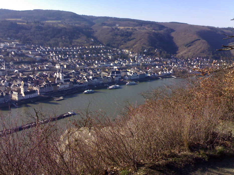
Aussichtreiche Tour übers Rheintal. Allerdings über Braubach ziemlich knifflige Kletterpassage drin. Erfordert gute Fahrtechnik und entsprechende Kondition. Den Abstecher über Braubach (Stichweg, kein Verfahren, gleicher Weg wieder zurück, 500m) bitte auch mitmachen – wird belohnt durch grandiosen Ausblick auf die alte Mine und das Schloß.
Tour gallery
Tour map and elevation profile
Minimum height 97 m
Maximum height 309 m
Comments

GPS tracks
Trackpoints-
GPX / Garmin Map Source (gpx) download
-
TCX / Garmin Training Center® (tcx) download
-
CRS / Garmin Training Center® (crs) download
-
Google Earth (kml) download
-
G7ToWin (g7t) download
-
TTQV (trk) download
-
Overlay (ovl) download
-
Fugawi (txt) download
-
Kompass (DAV) Track (tk) download
-
Track data sheet (pdf) download
-
Original file of the author (gpx) download
Add to my favorites
Remove from my favorites
Edit tags
Open track
My score
Rate


